Showcase
Photo Journals
2014 USA
2014 Ethiopia
2013 Venice
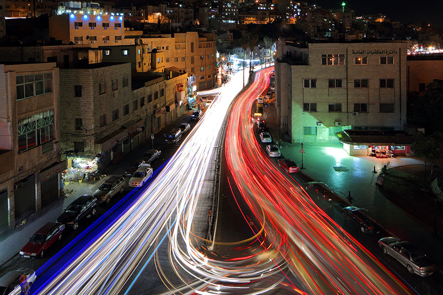
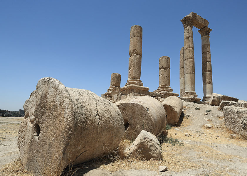
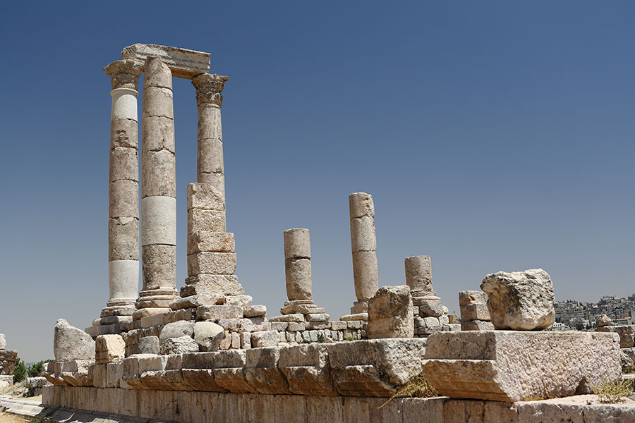
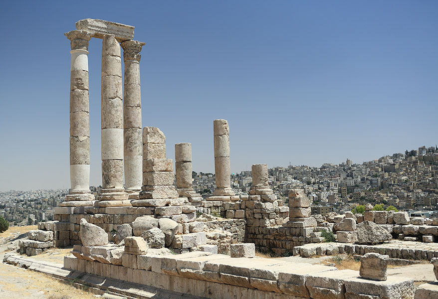
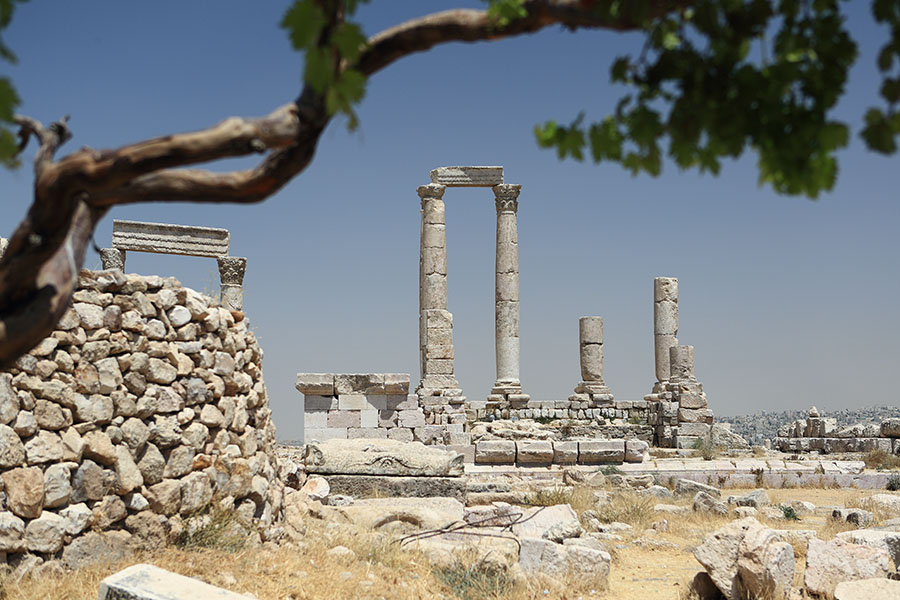
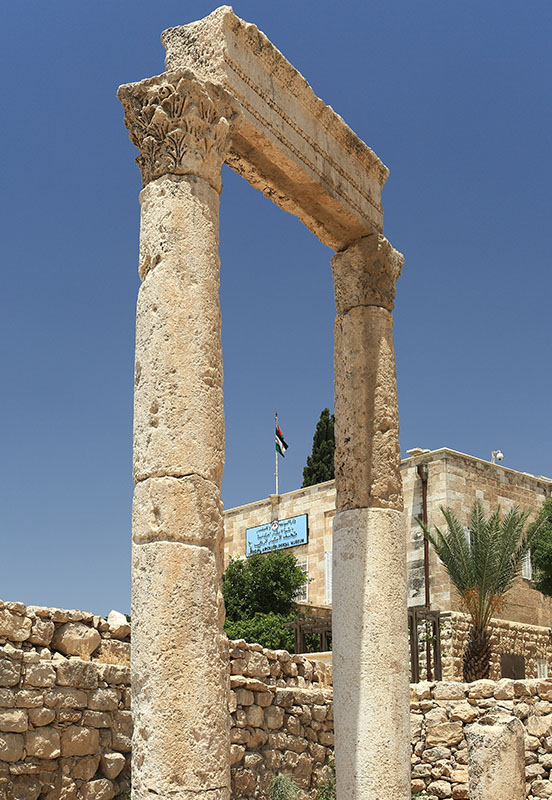
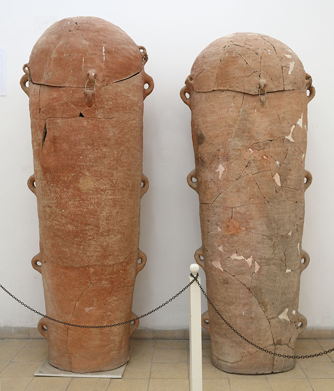
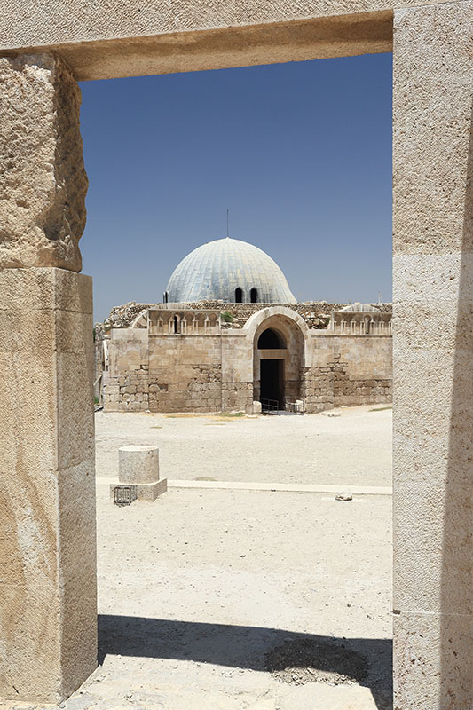
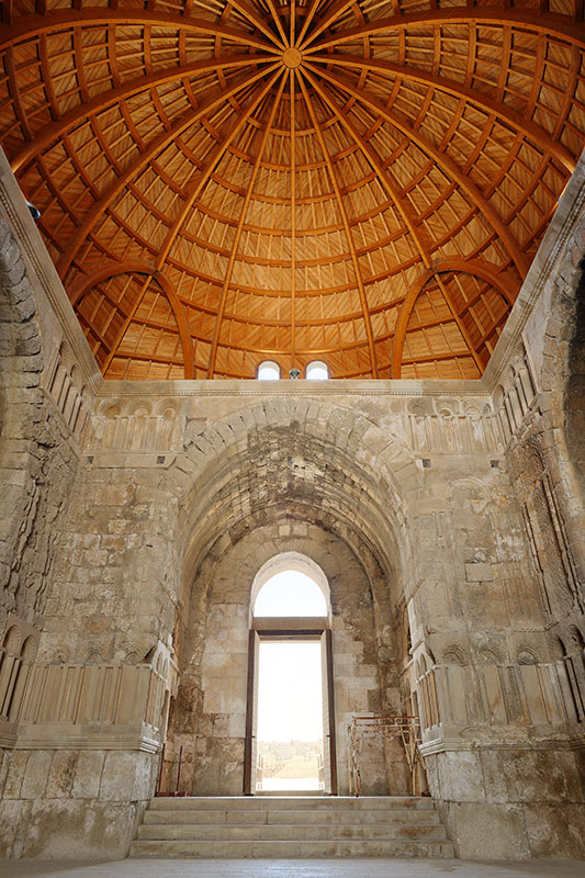
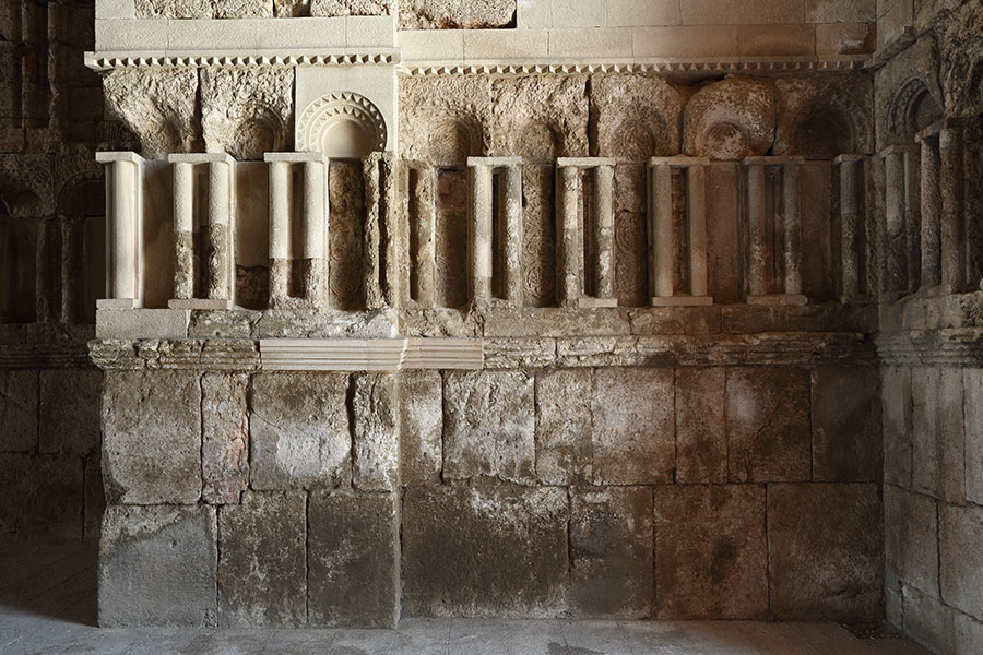
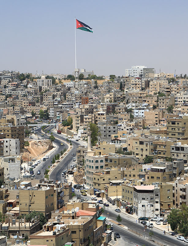
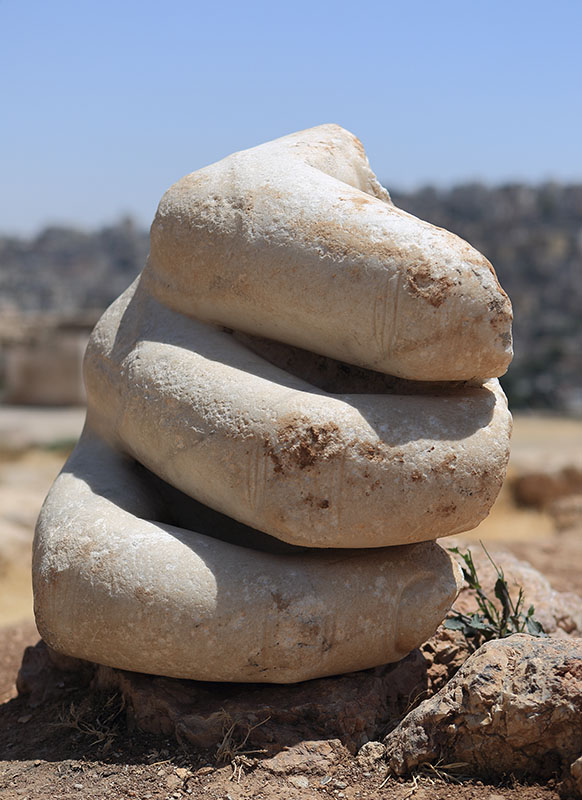
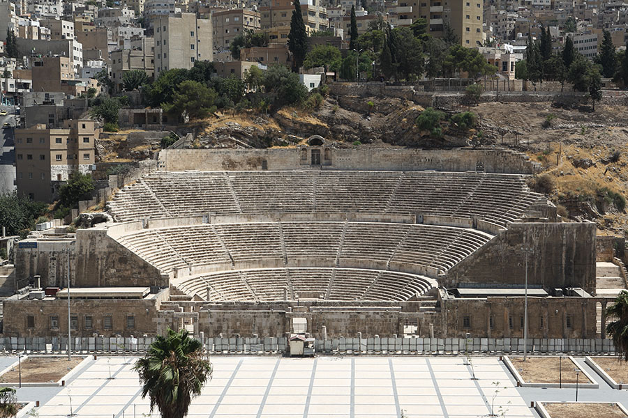
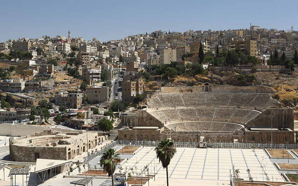
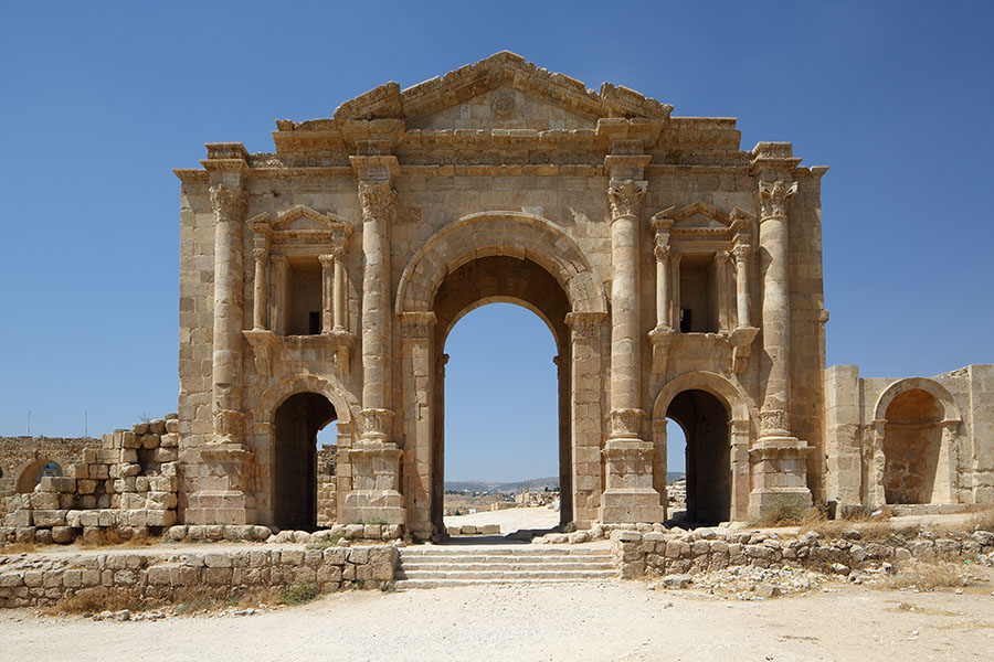
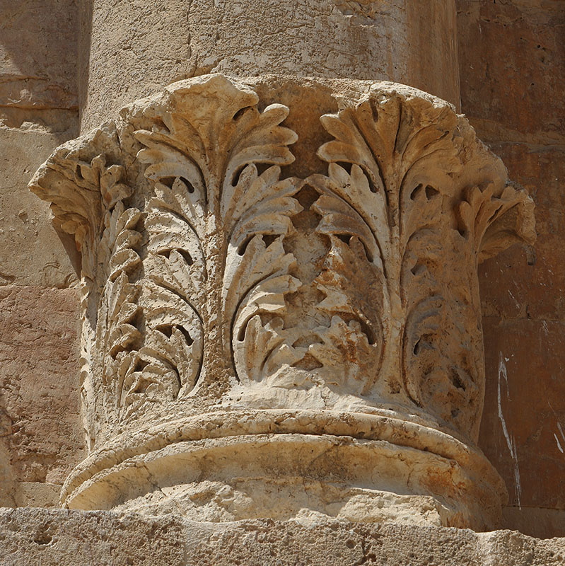
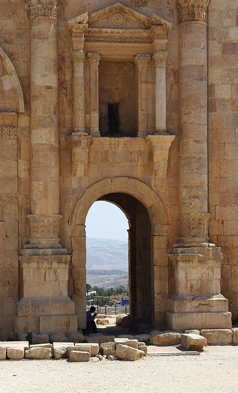
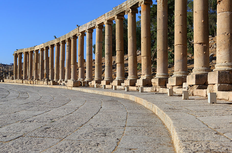
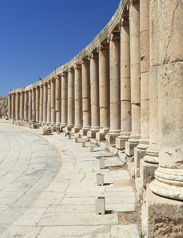
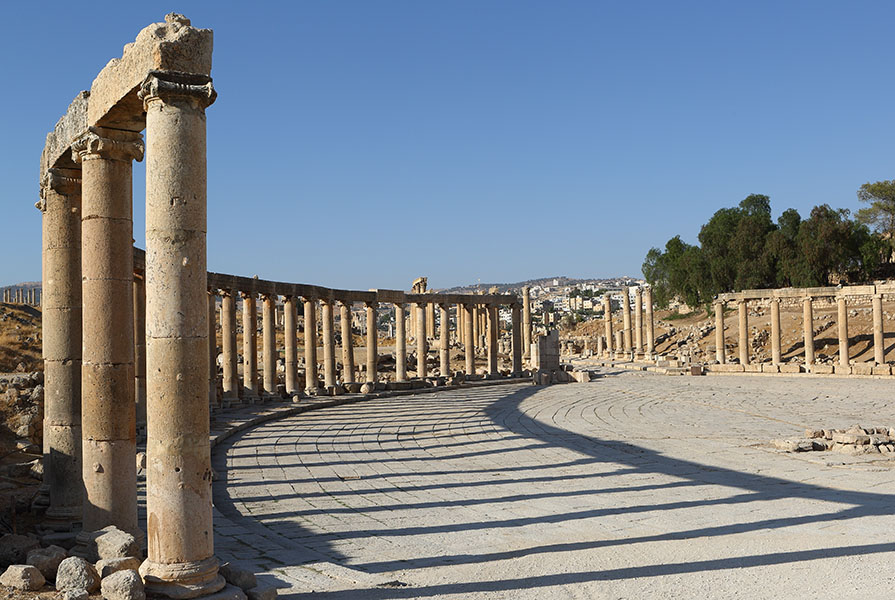
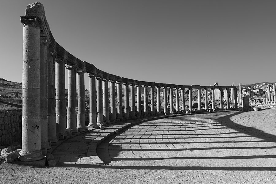
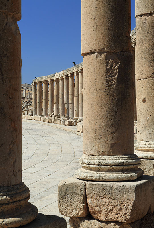
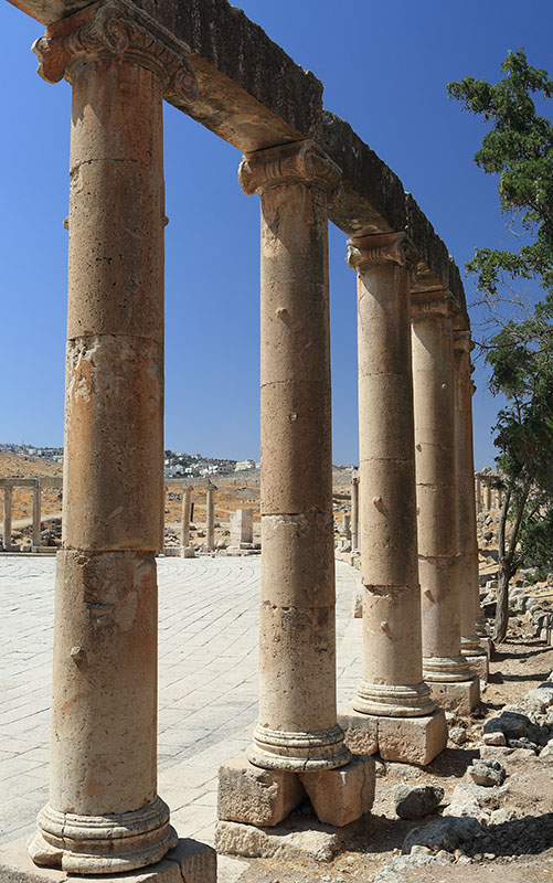
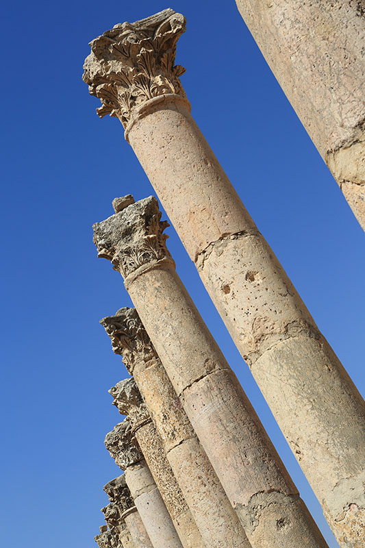
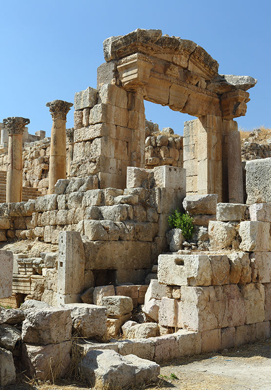
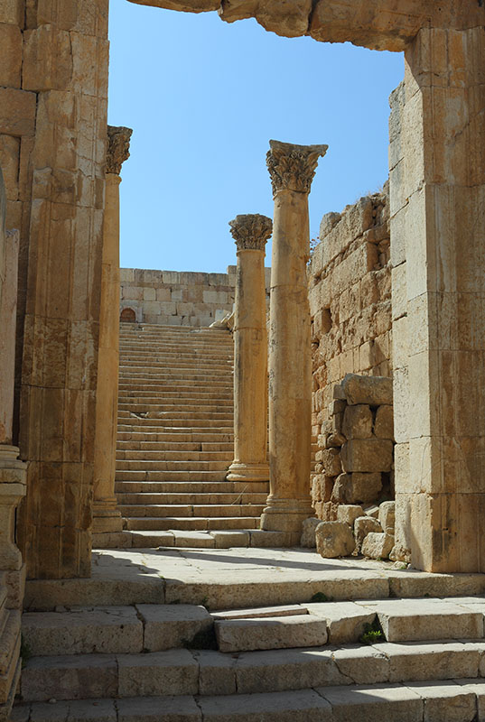
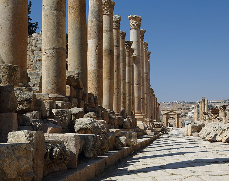
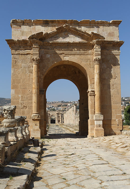
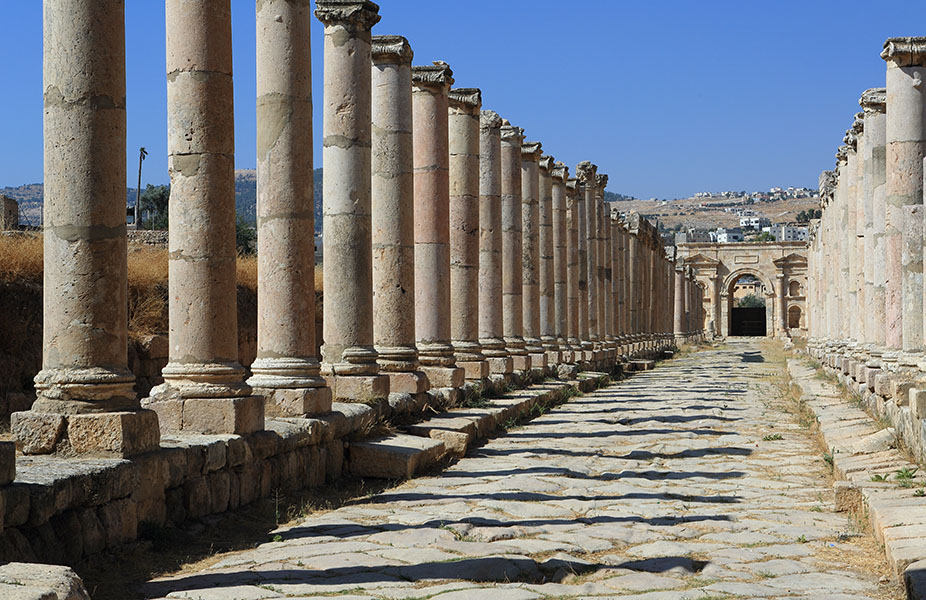
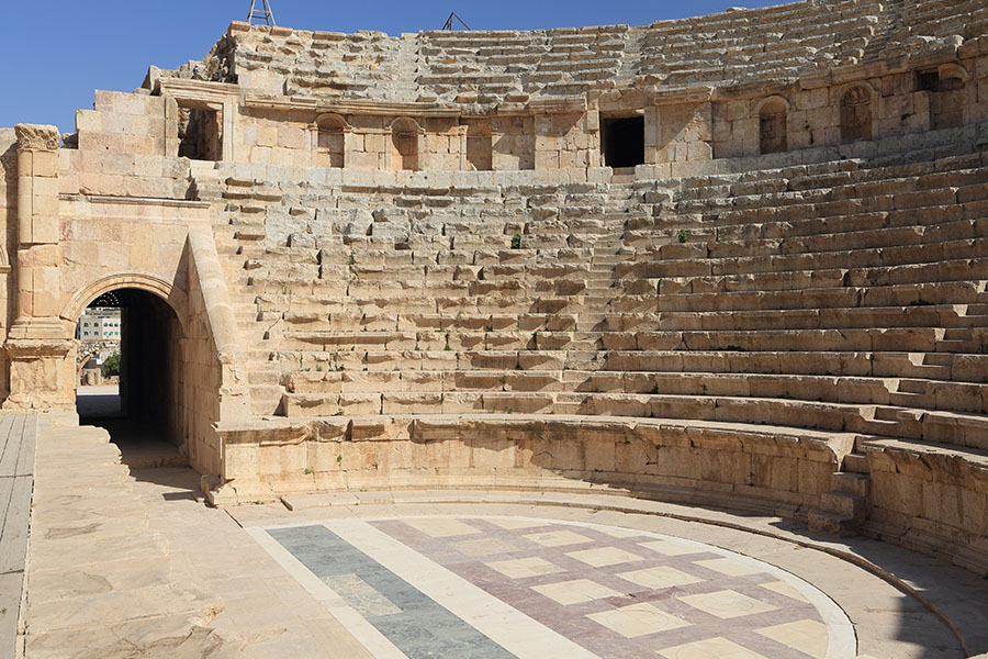
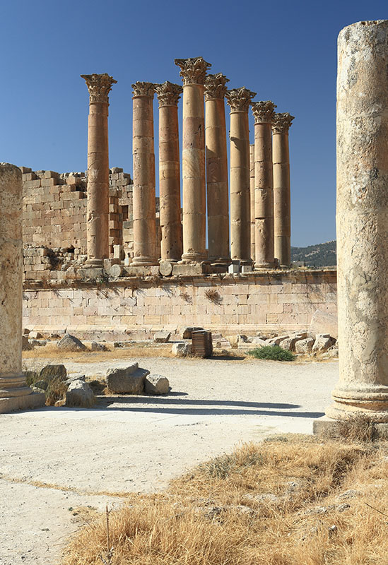
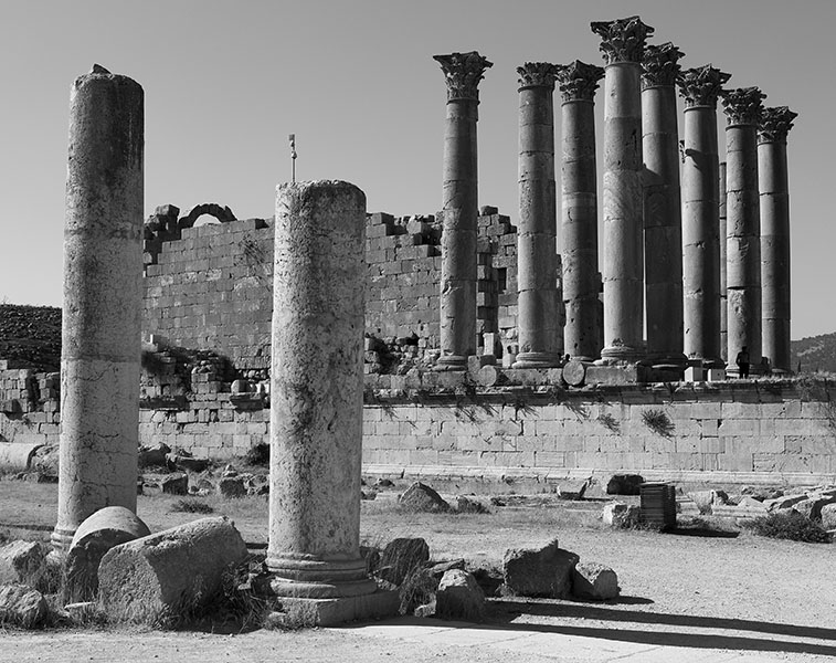
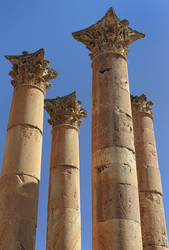
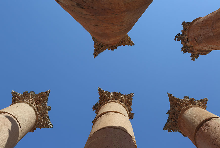
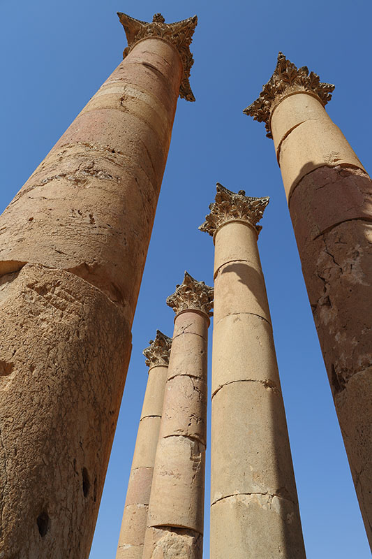
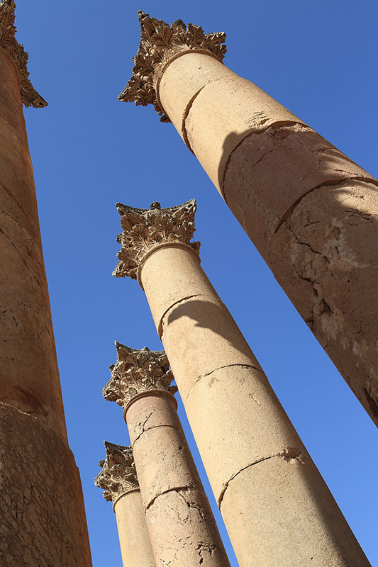
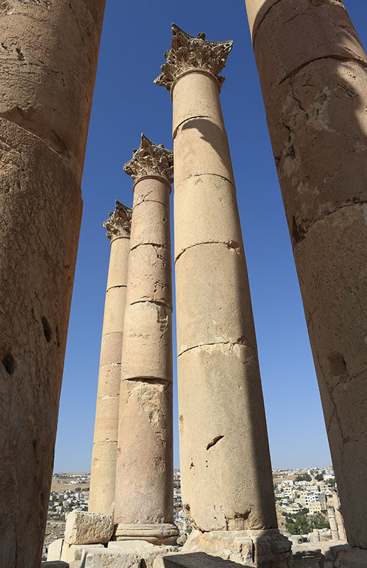
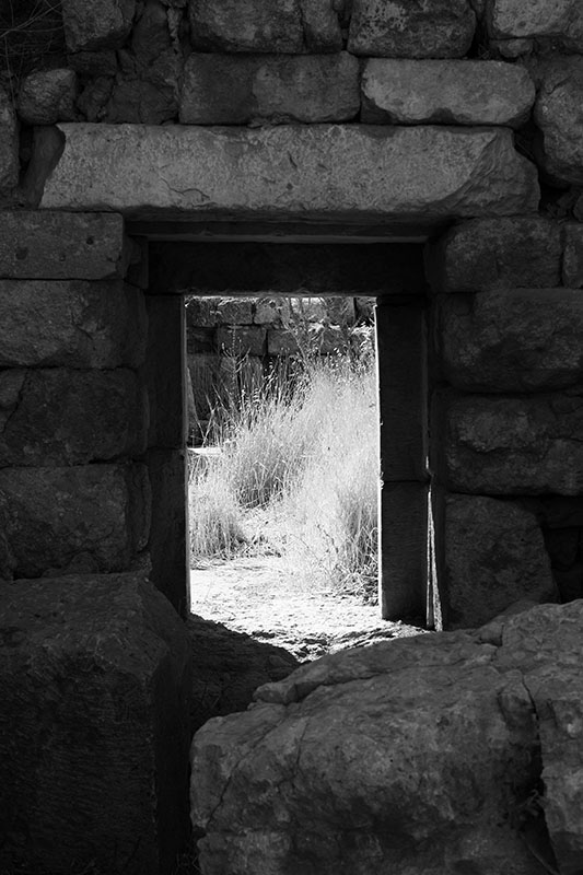
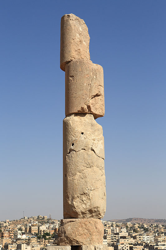
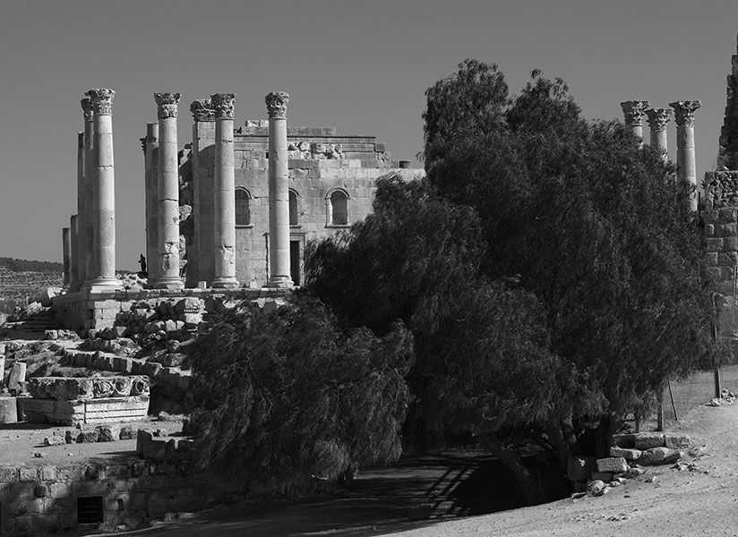
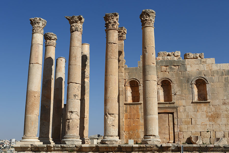
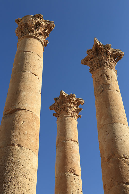
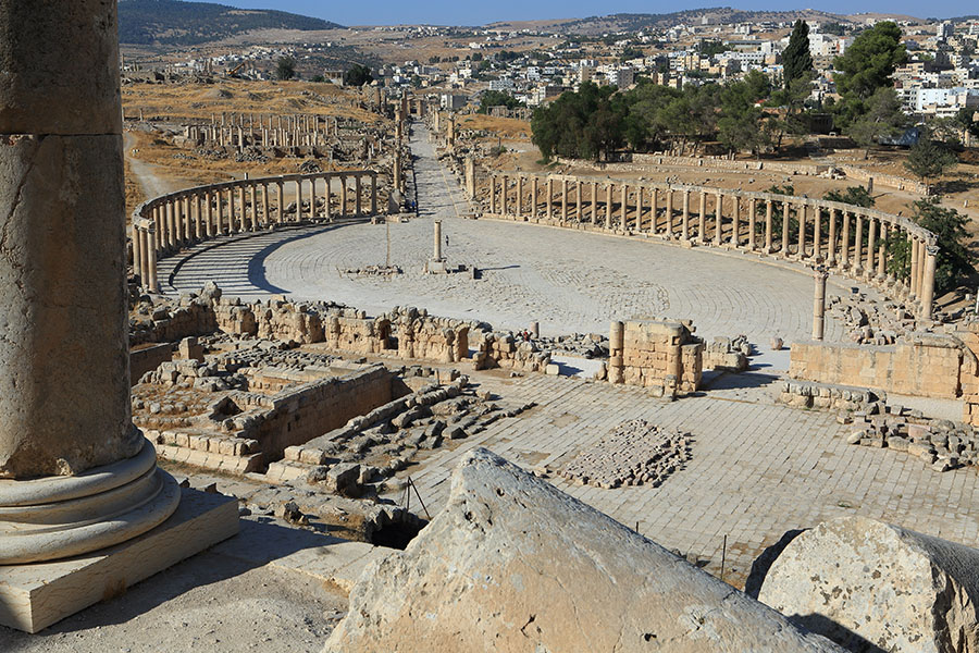
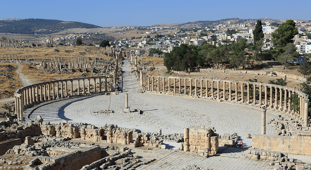
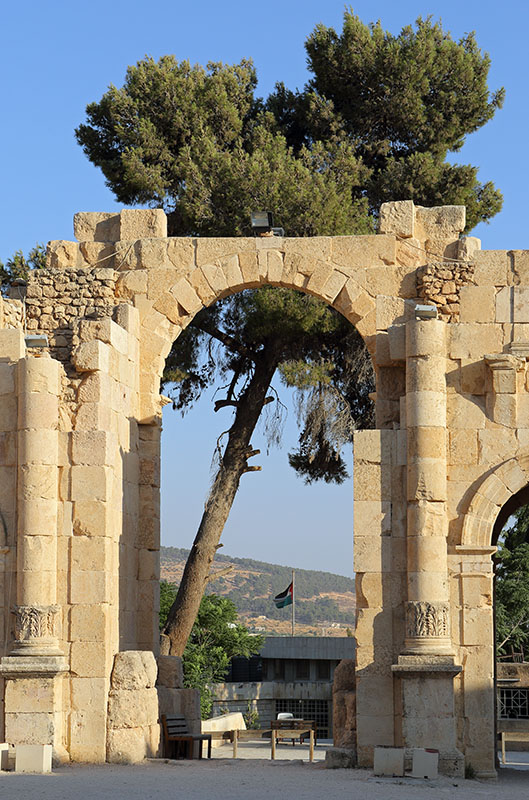
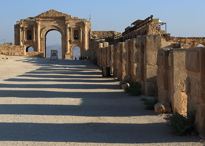
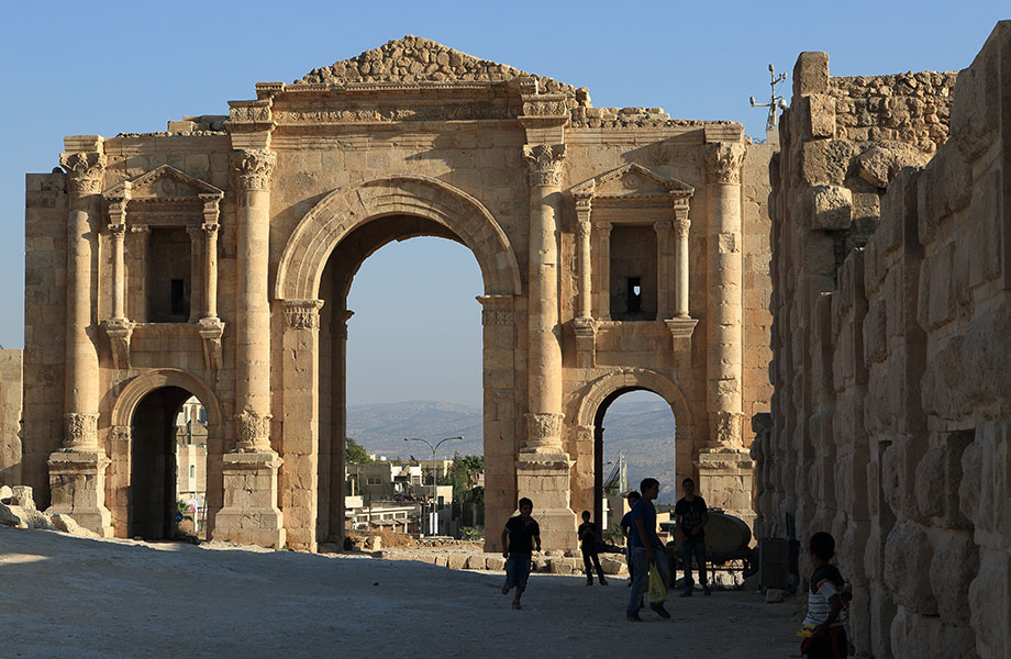
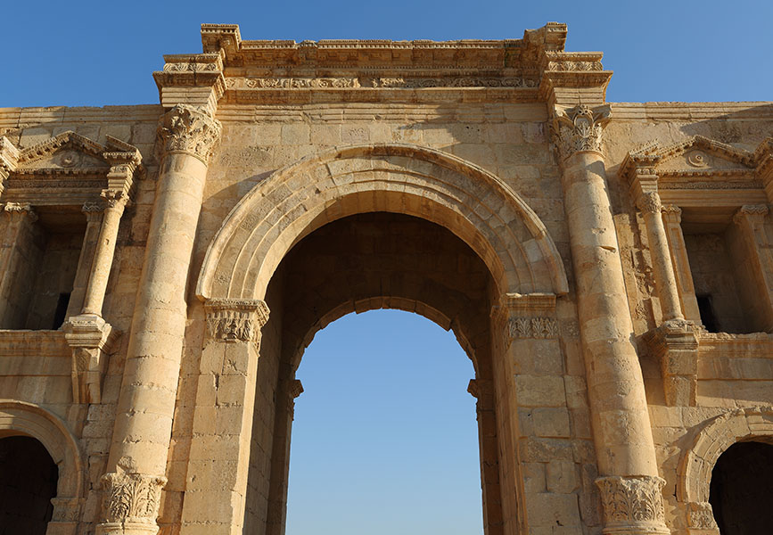
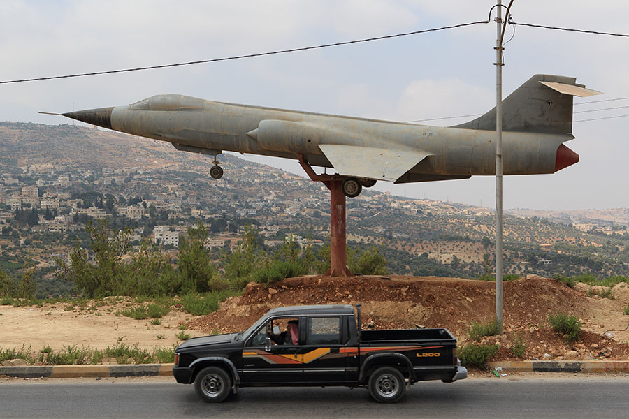
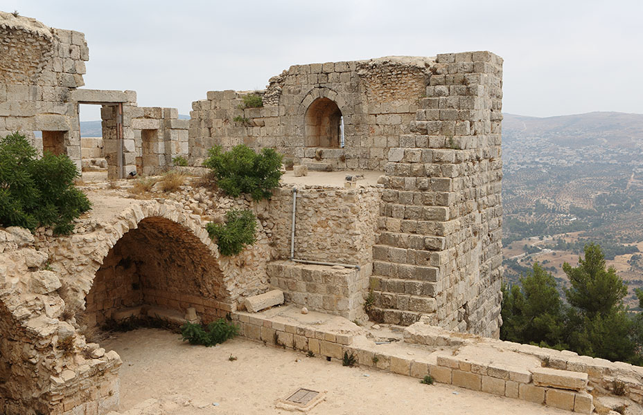
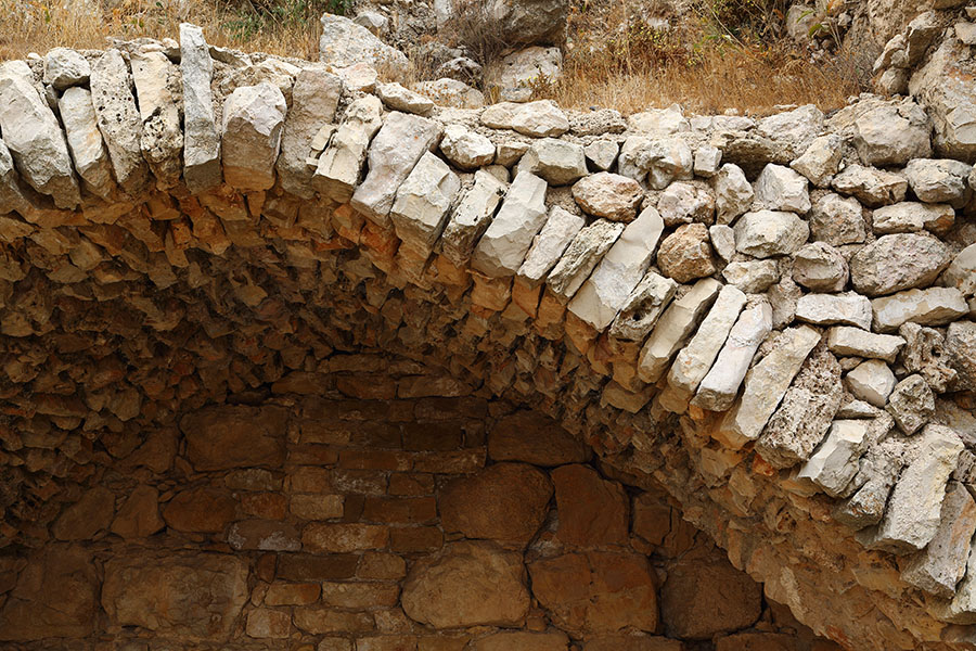
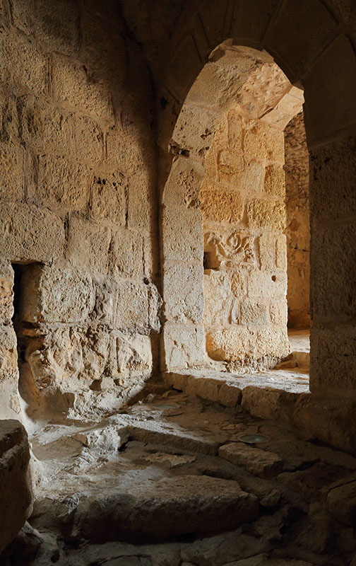
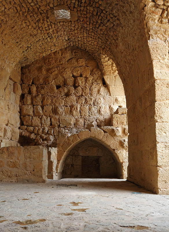
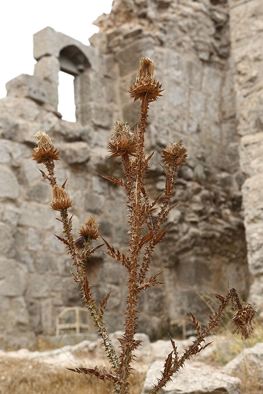
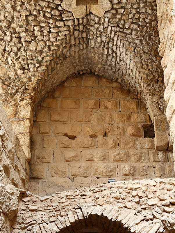
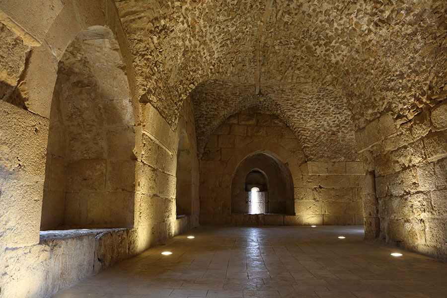
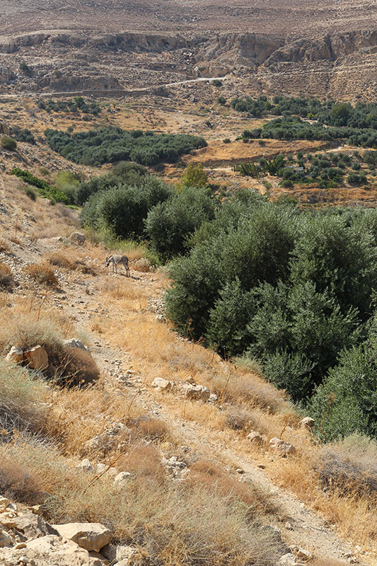
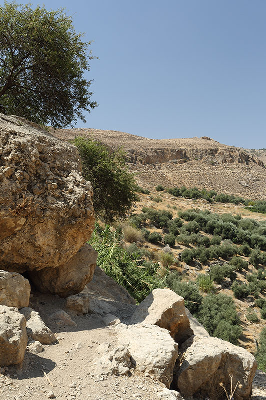
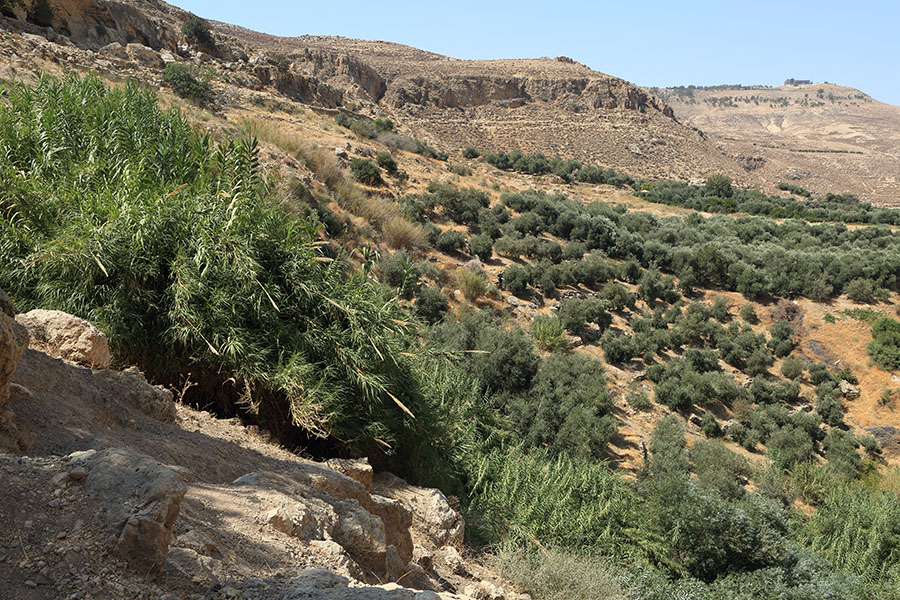
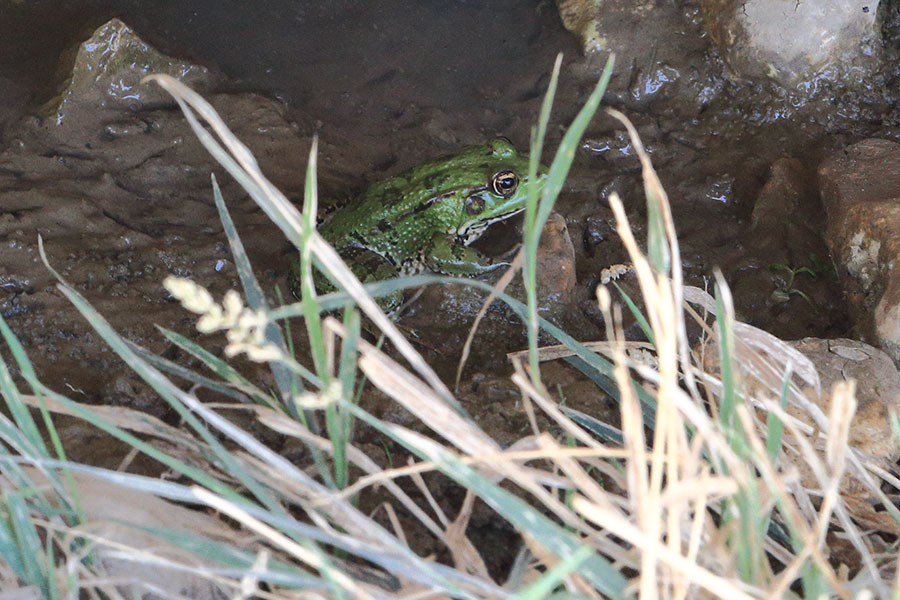
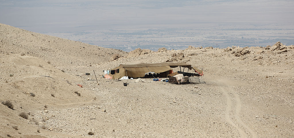
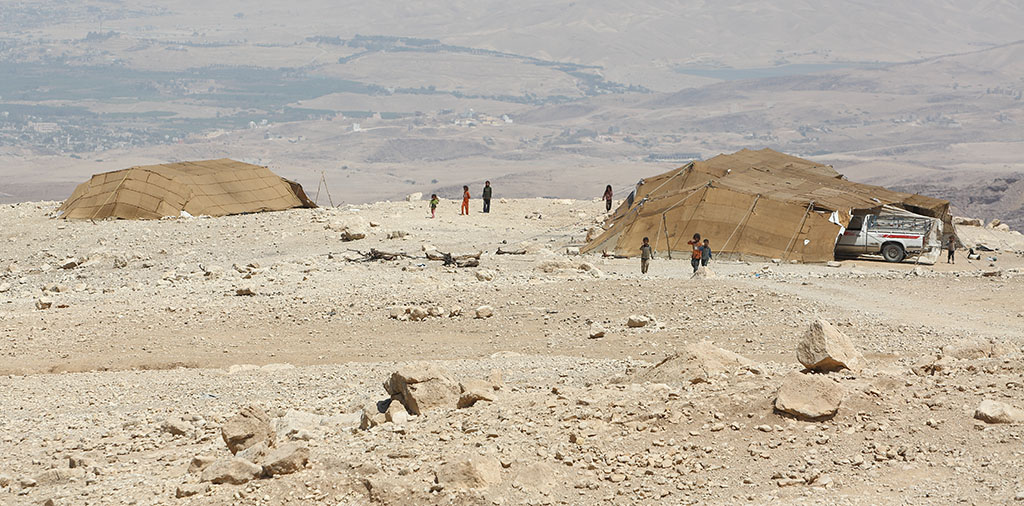
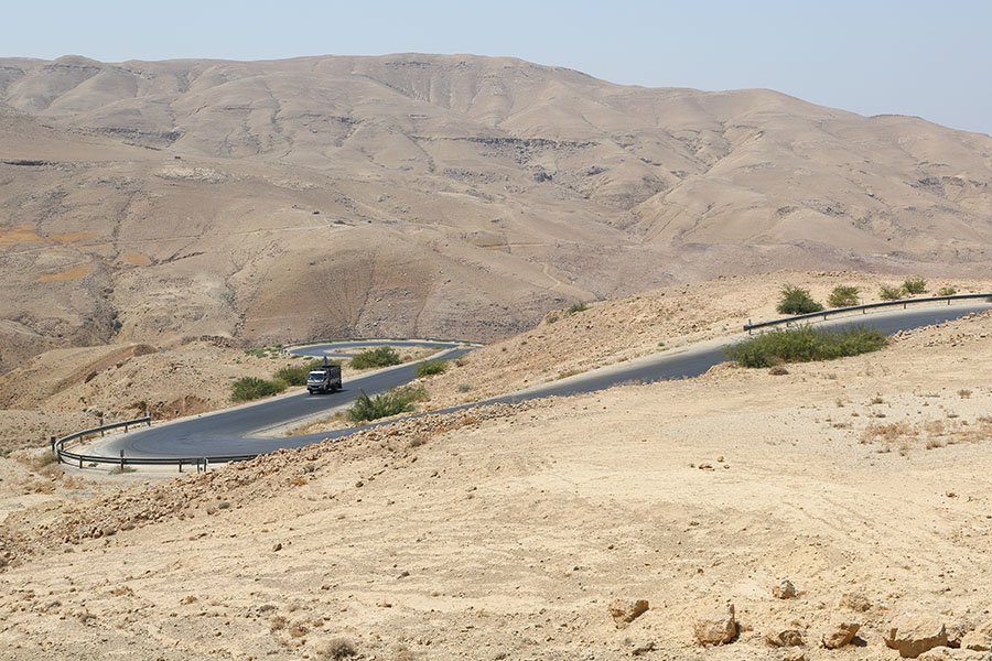
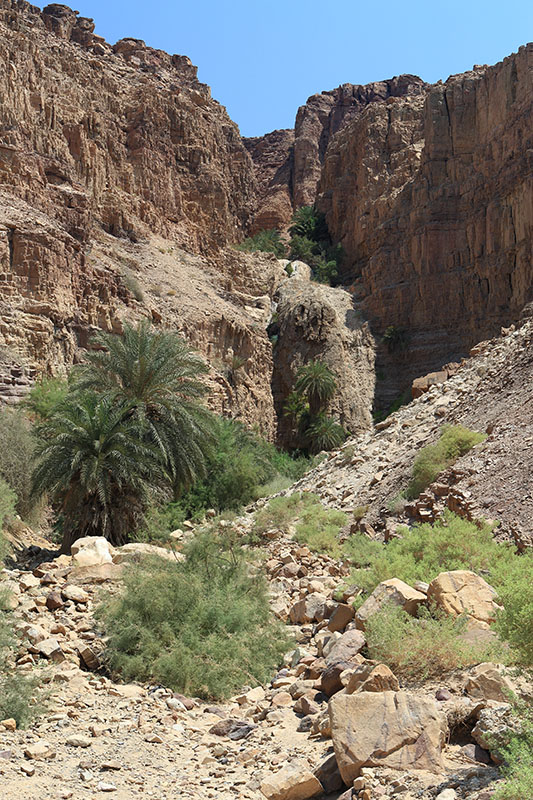
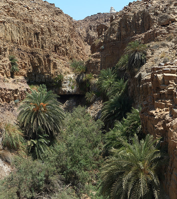
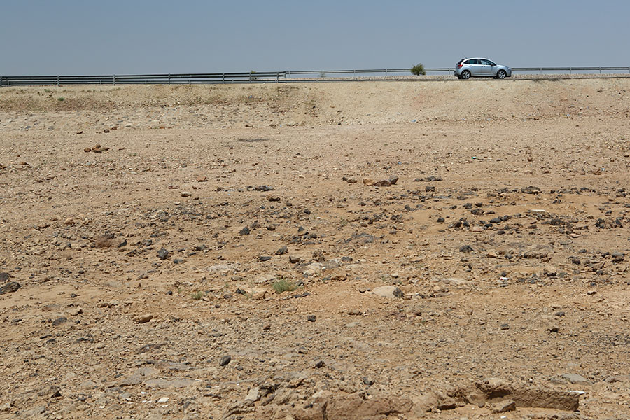
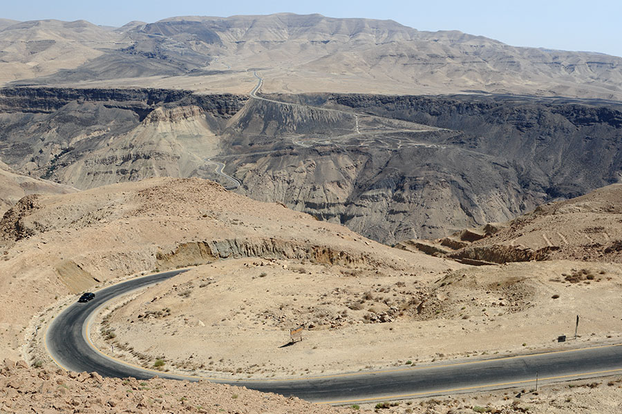
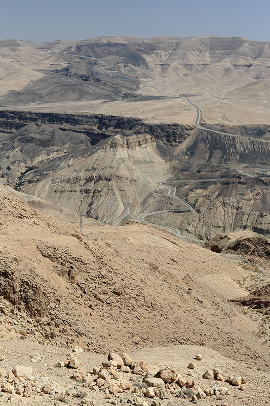
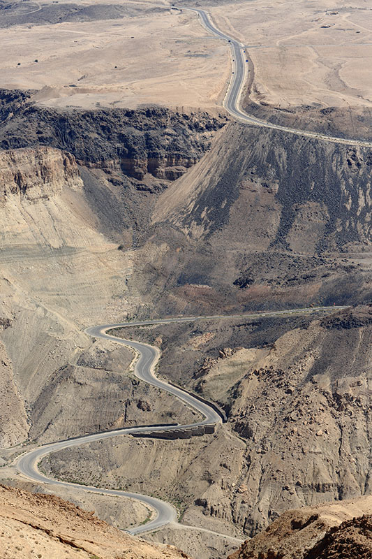
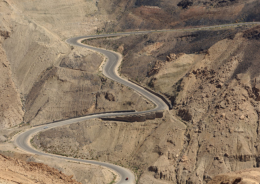
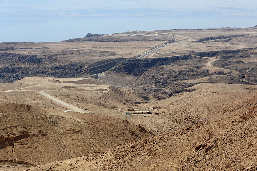
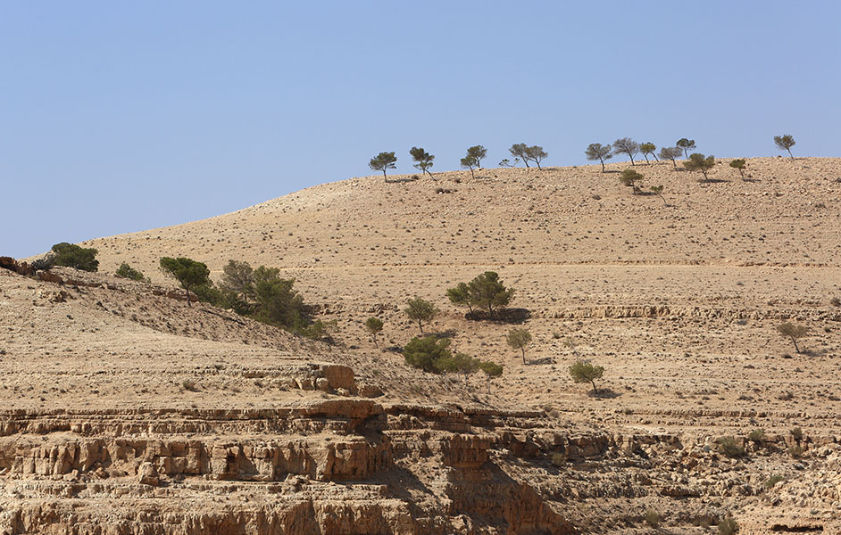
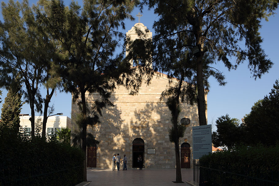
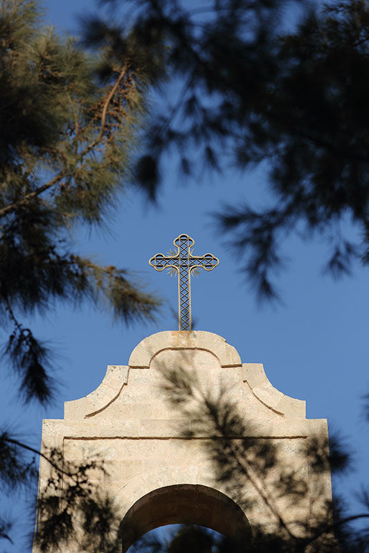
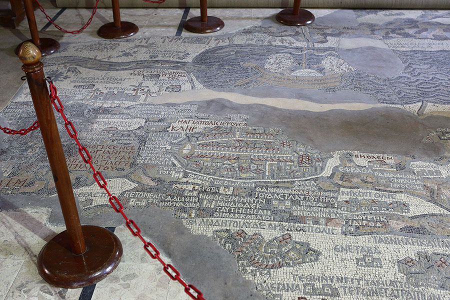
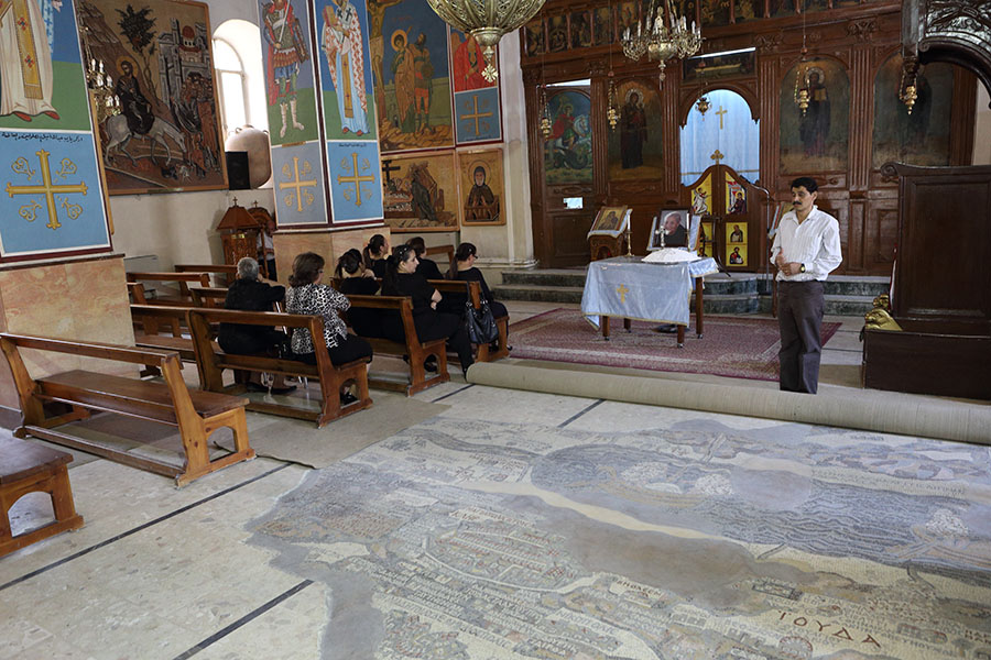
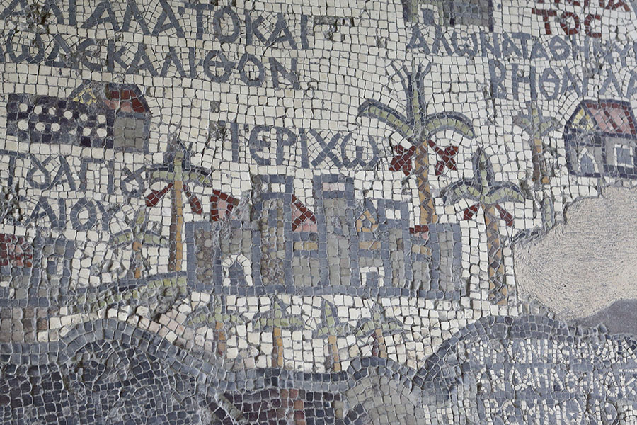
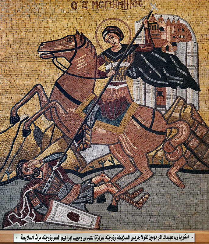
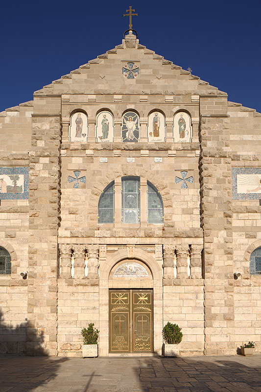
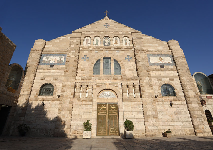
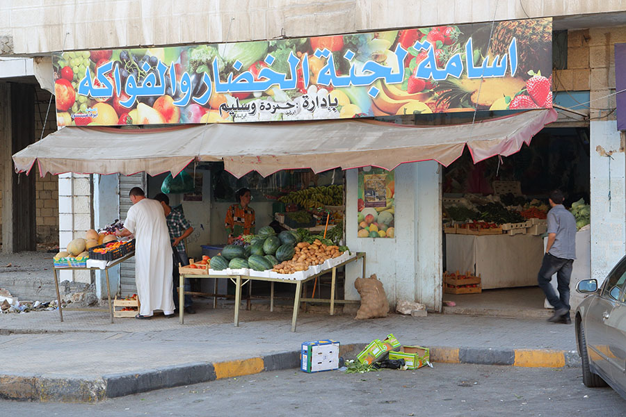
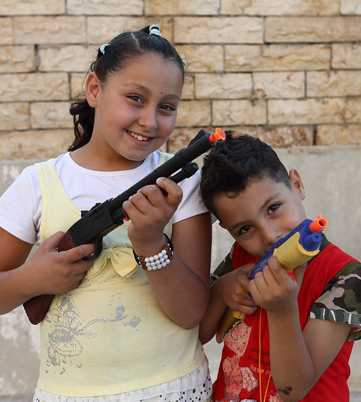
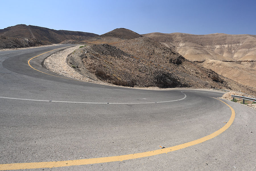
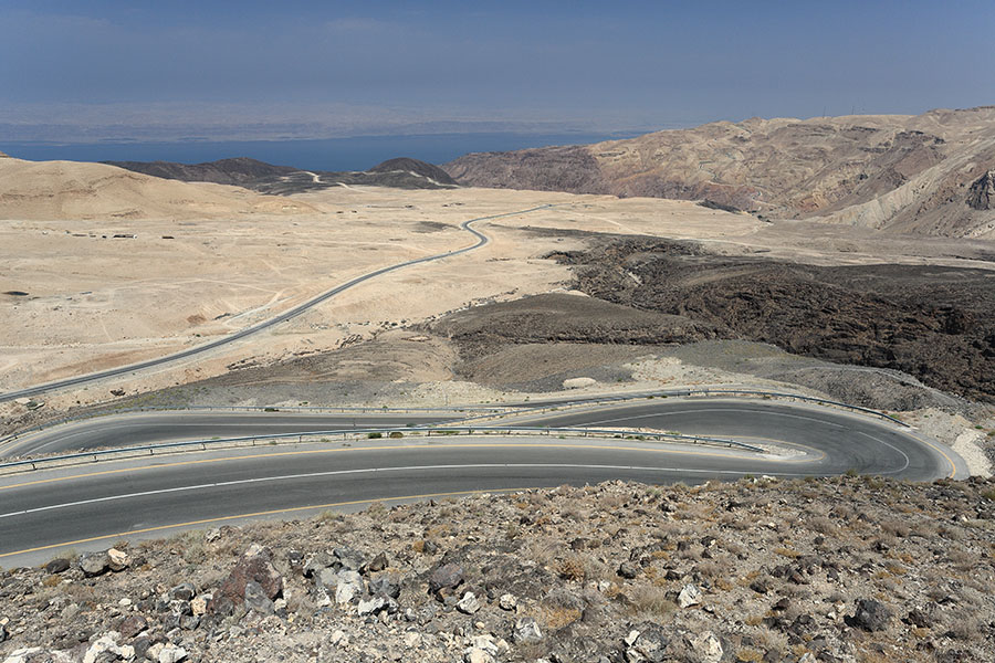
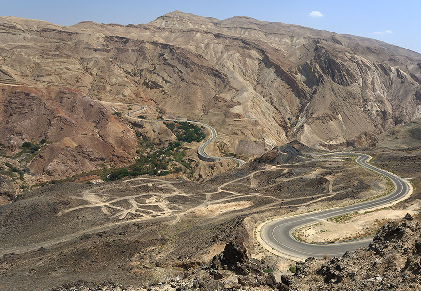
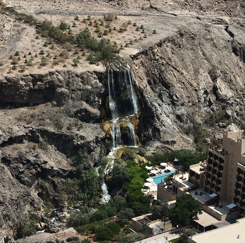
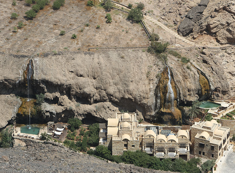
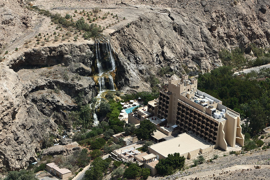
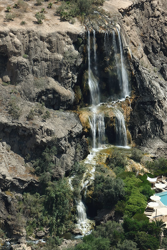
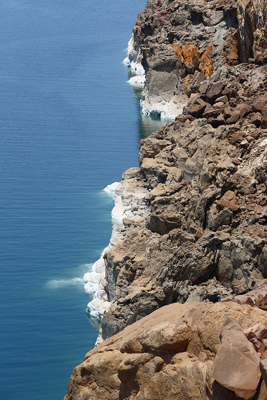
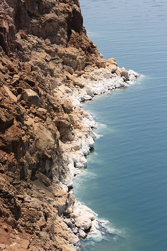
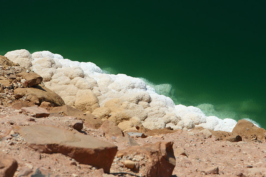
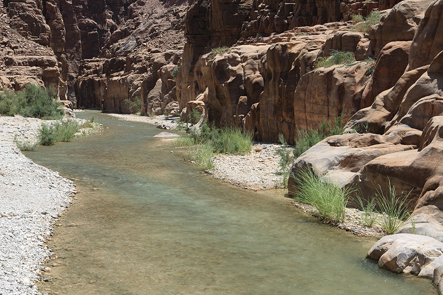
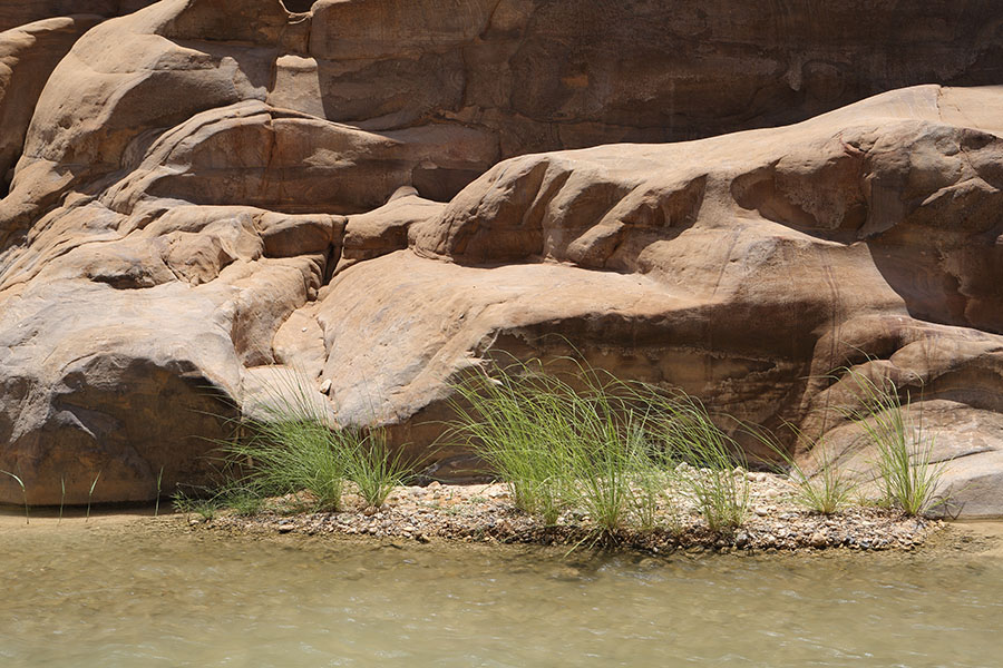
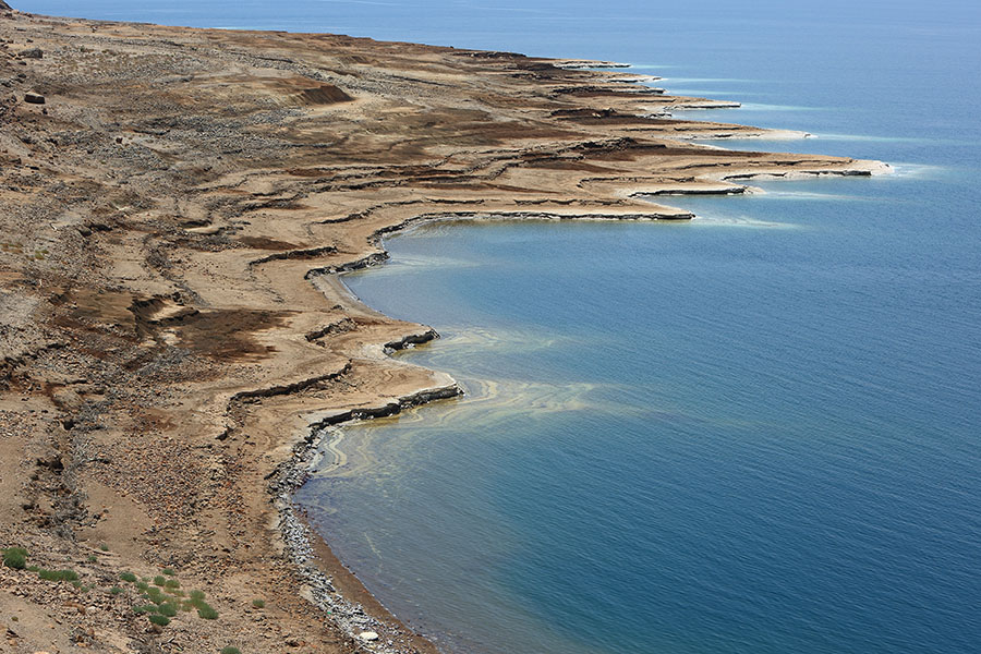
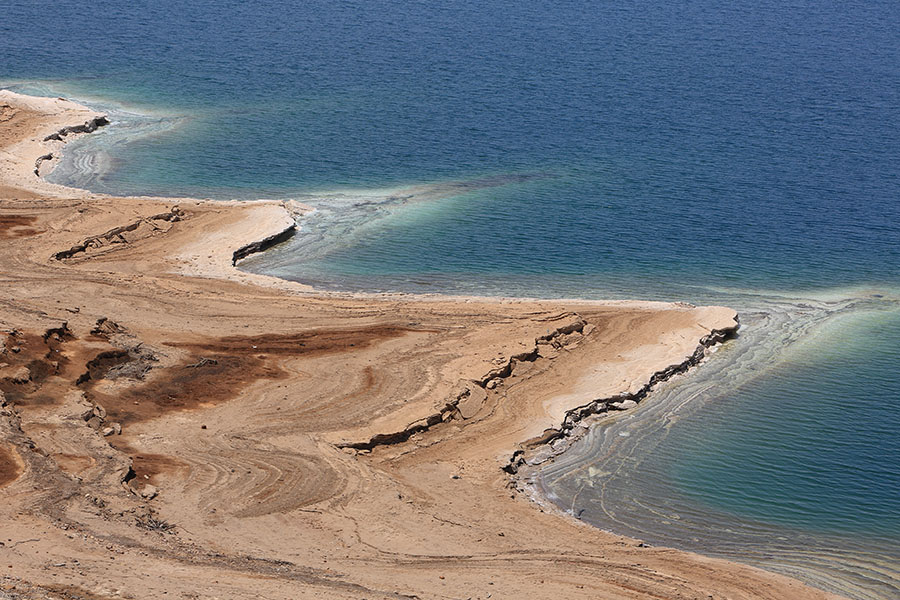
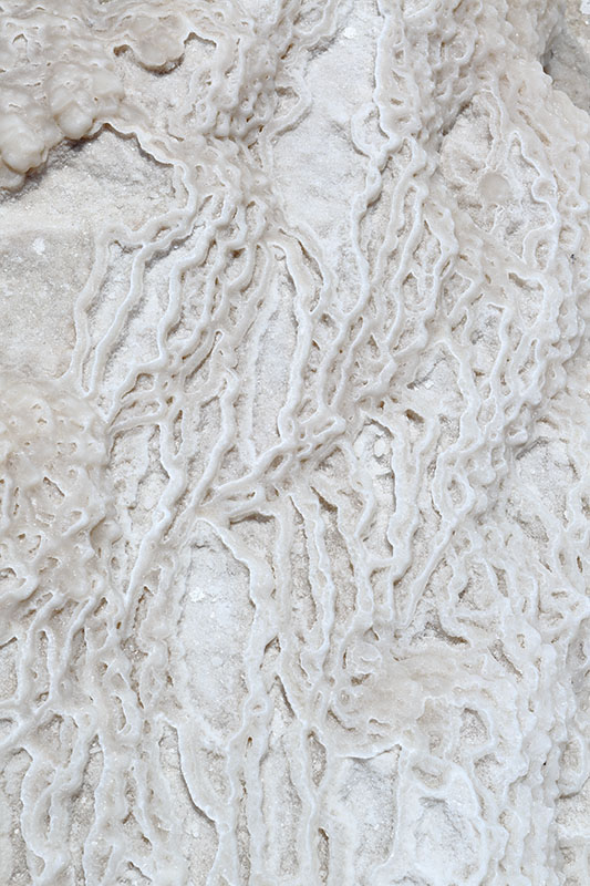
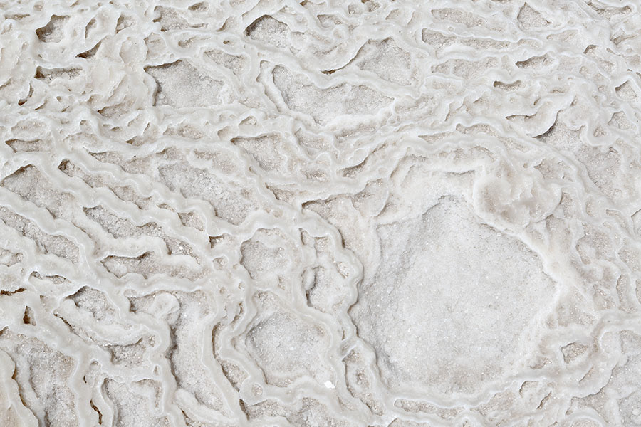
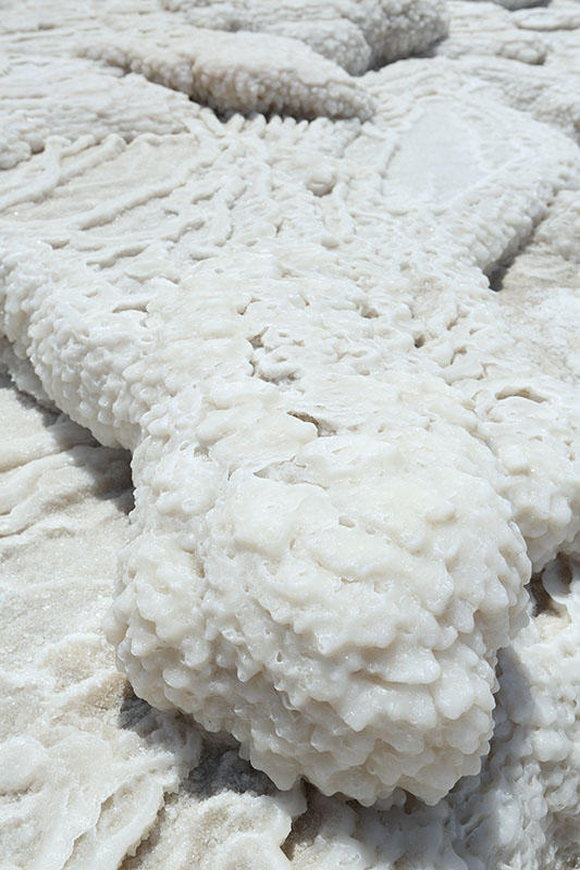
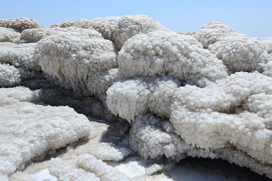
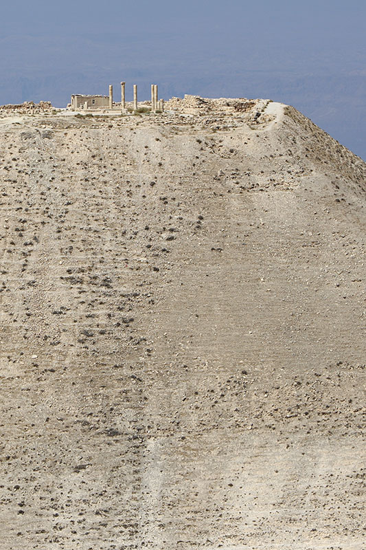
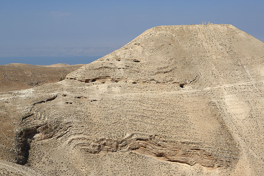
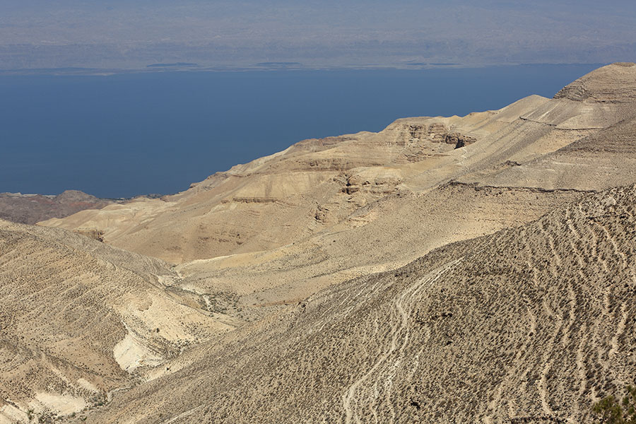
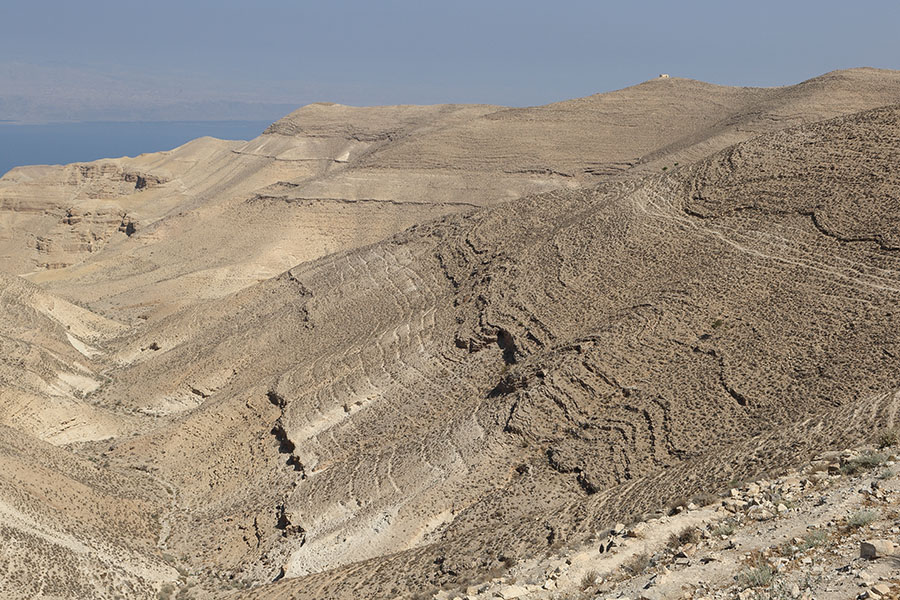
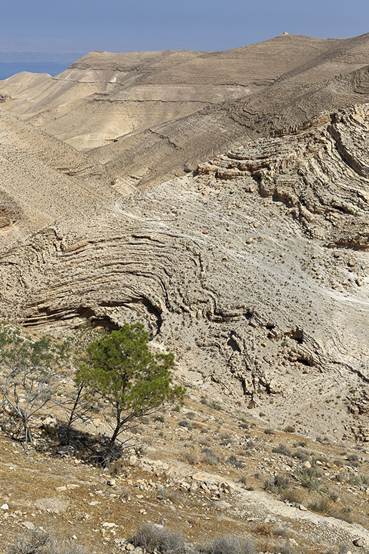
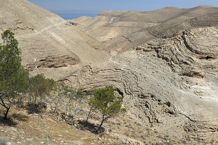
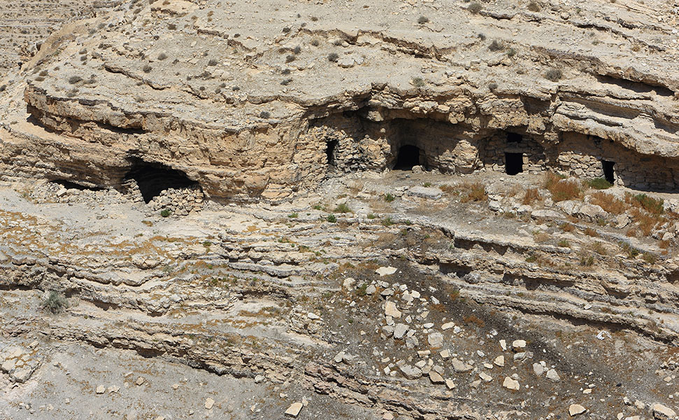
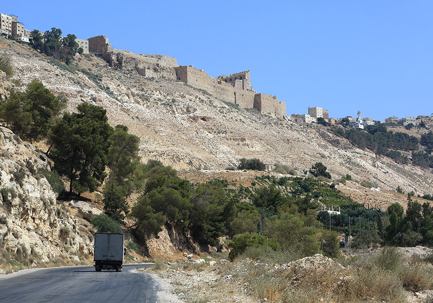
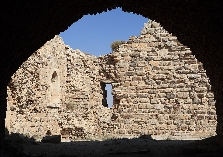
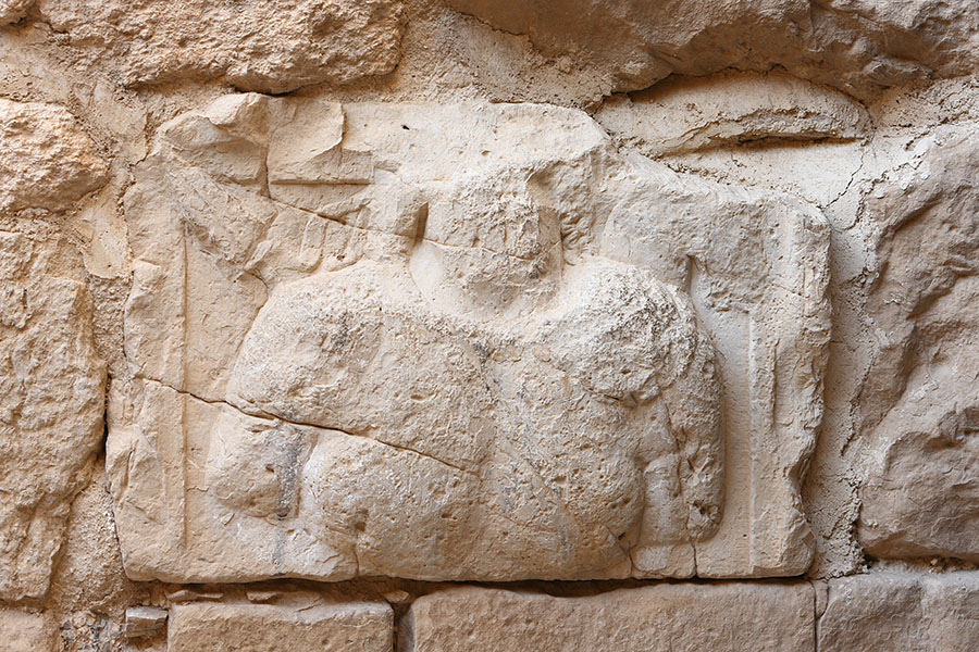
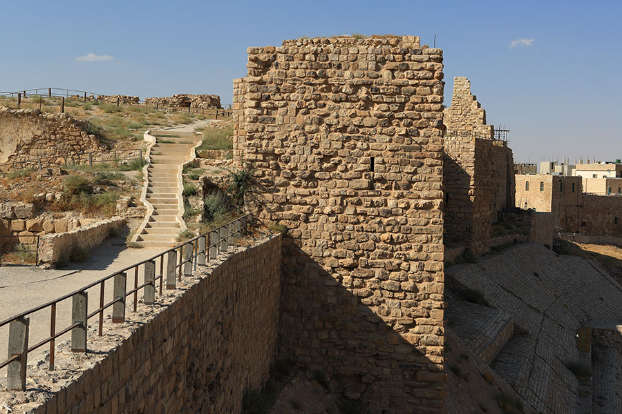
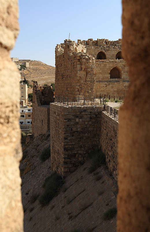
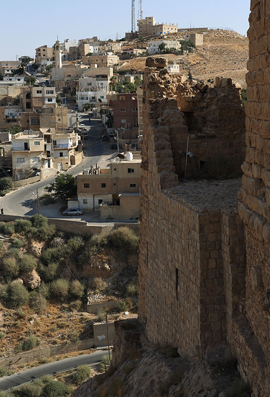
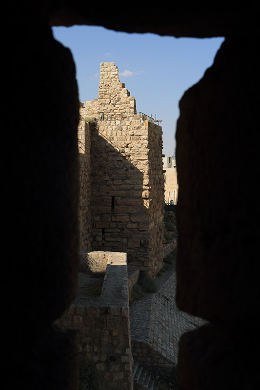
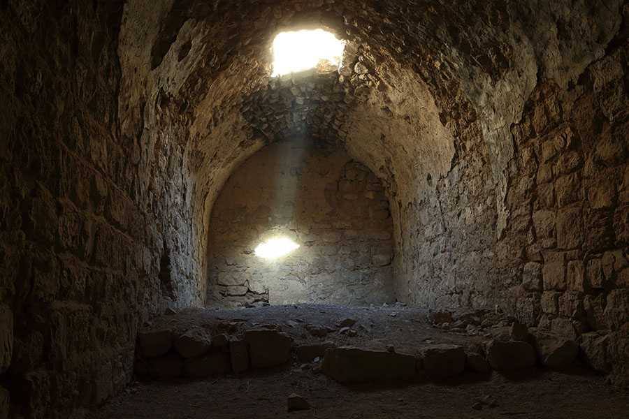
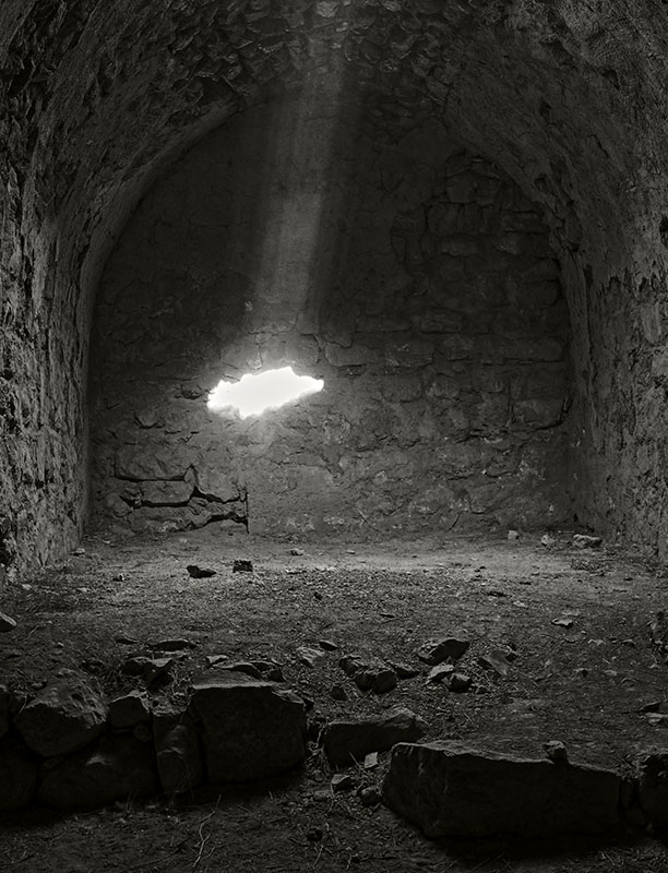
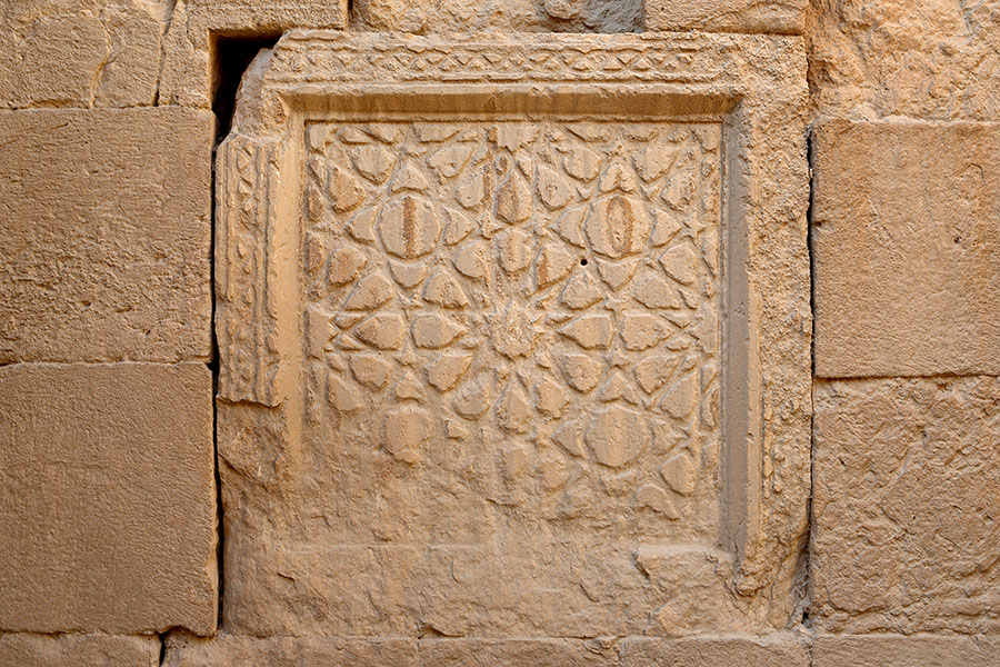
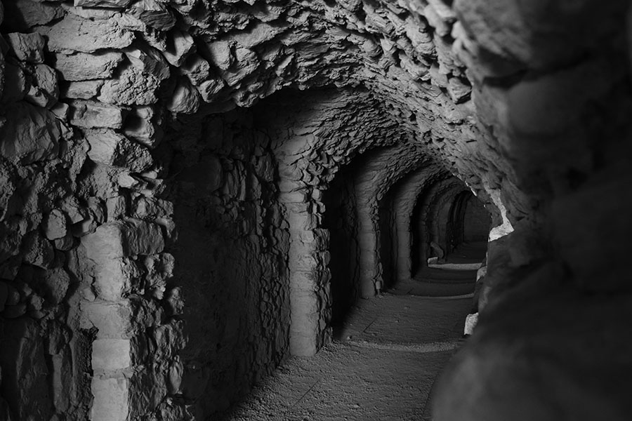
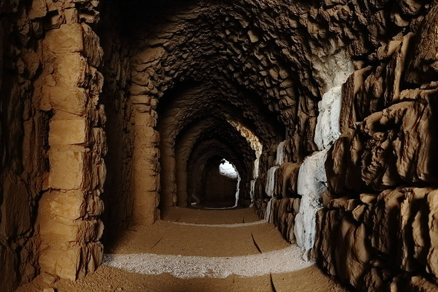
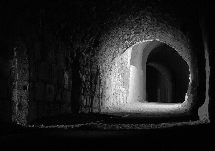
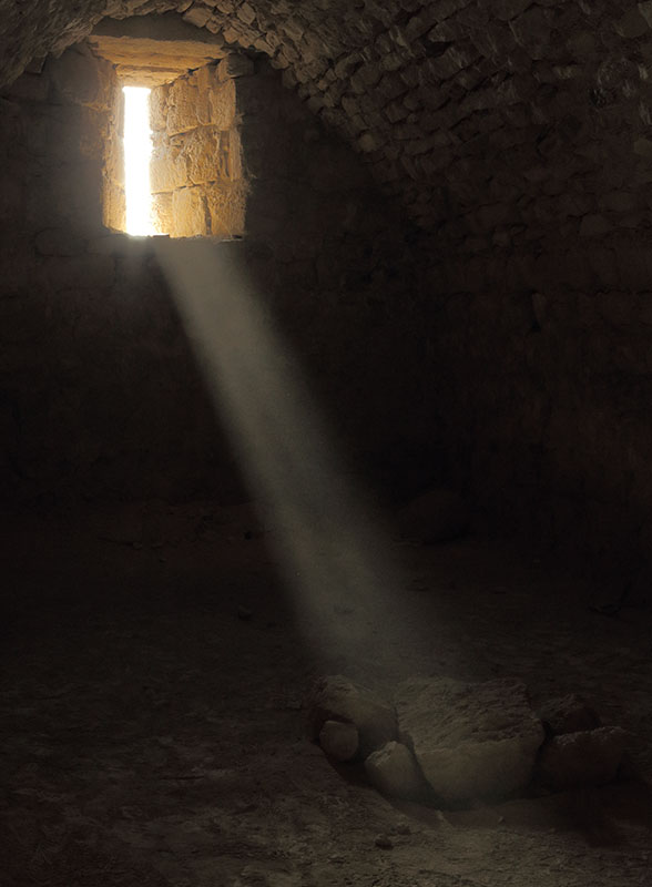
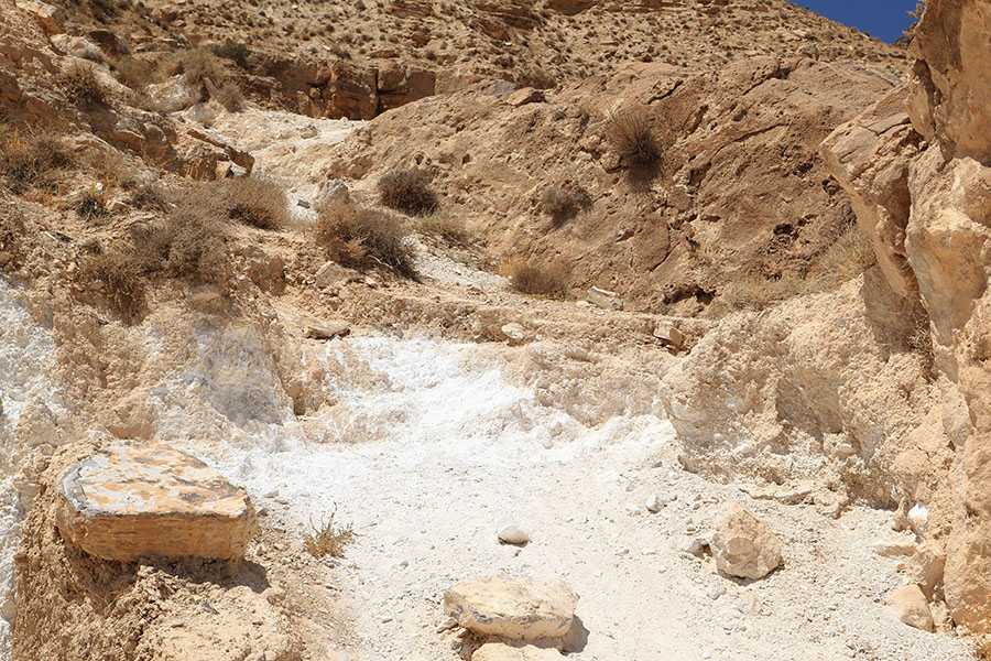
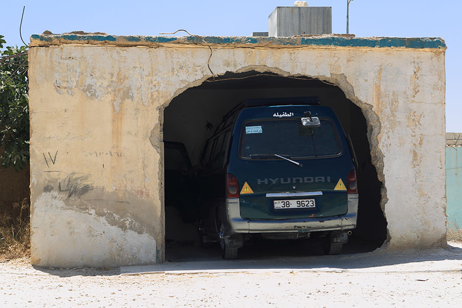
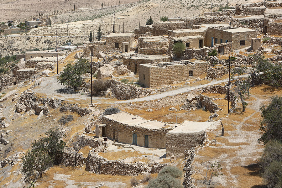
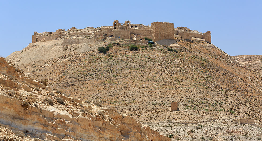
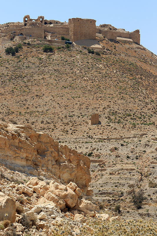
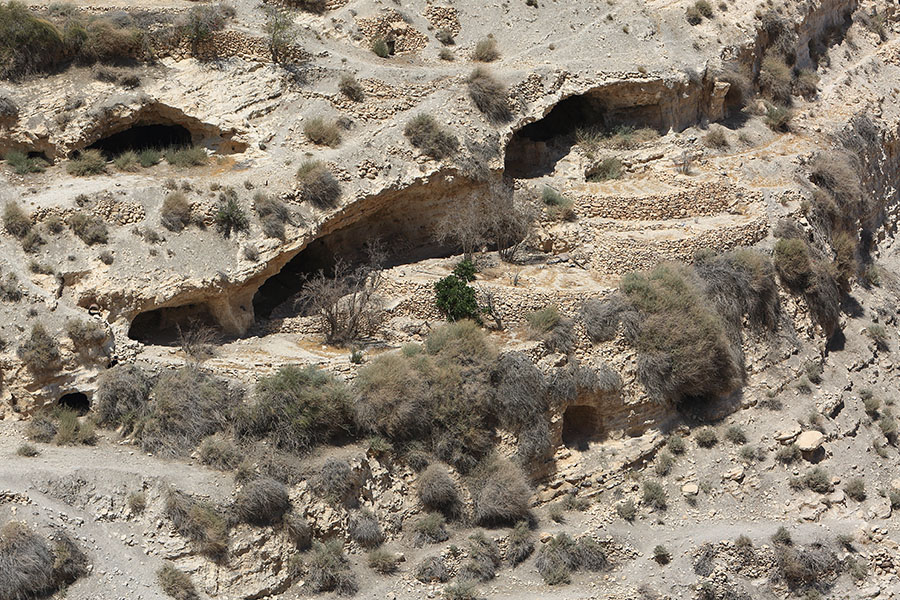
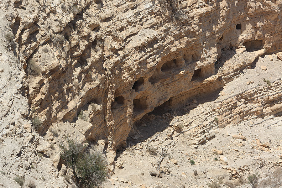
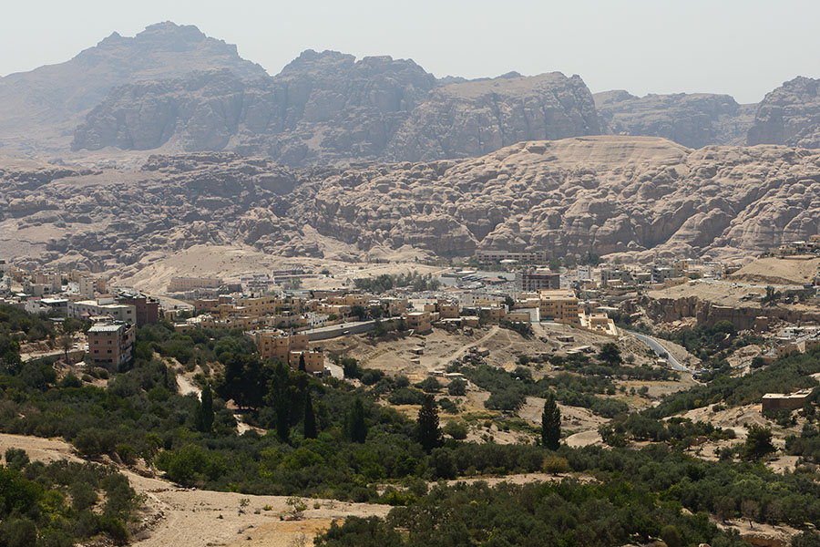
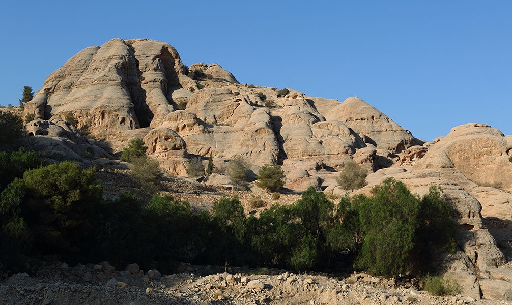
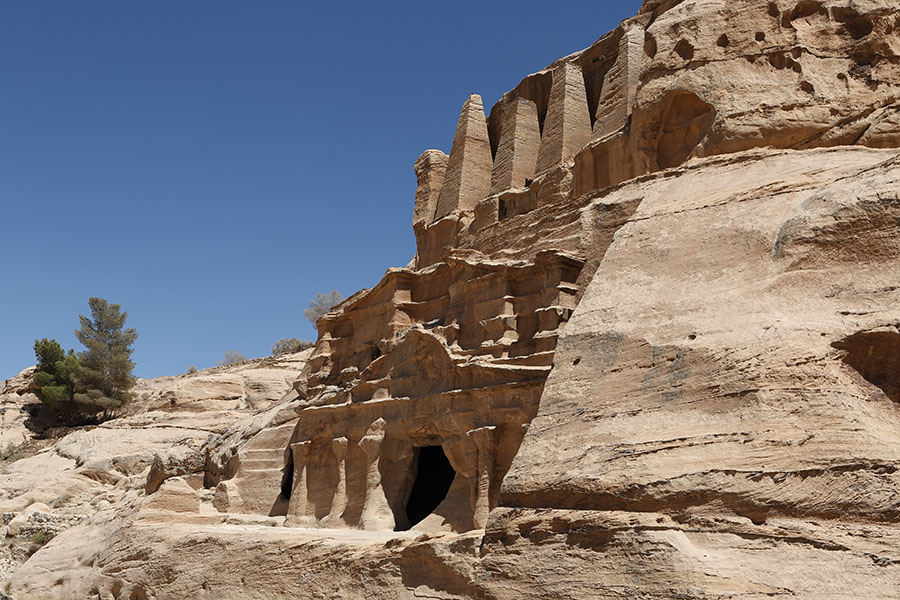
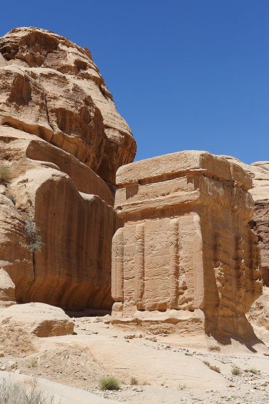
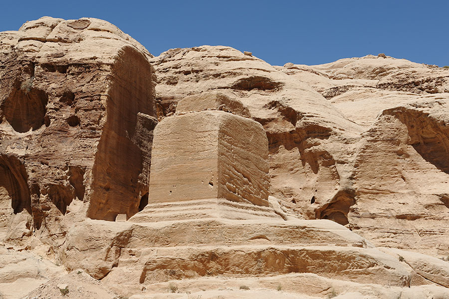
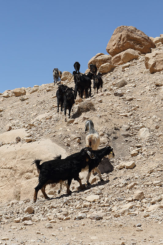
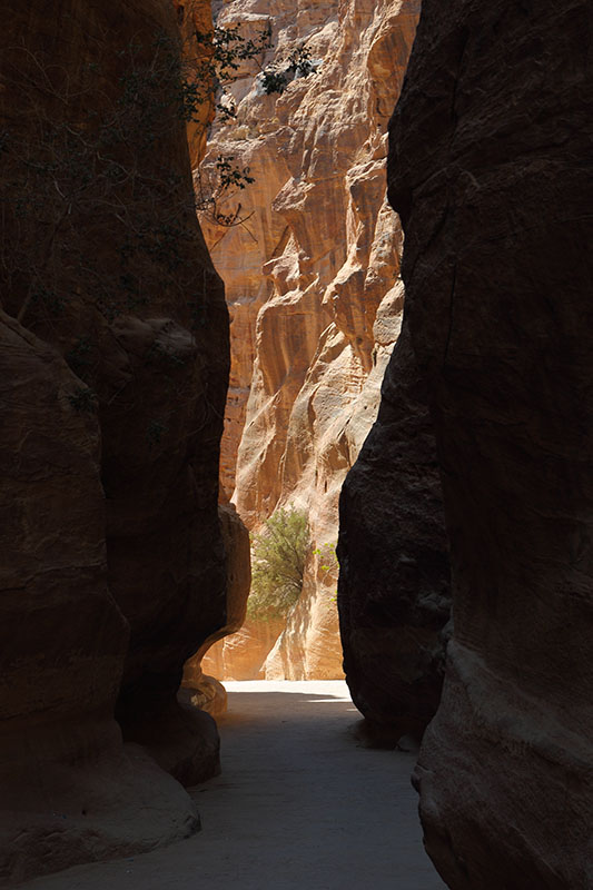
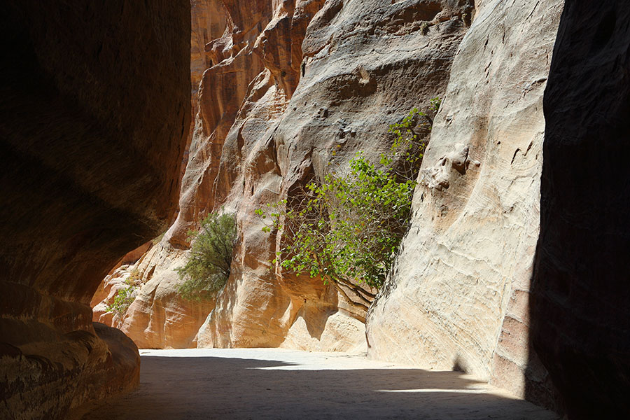
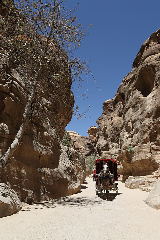
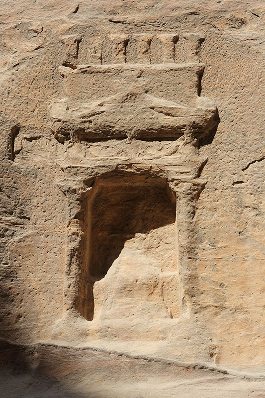
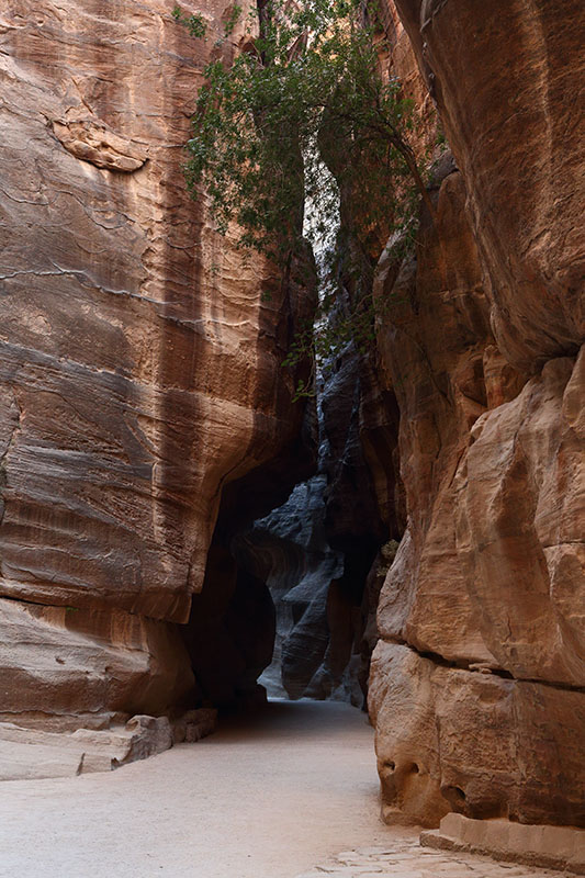
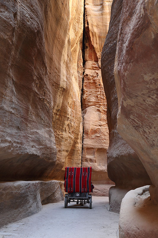
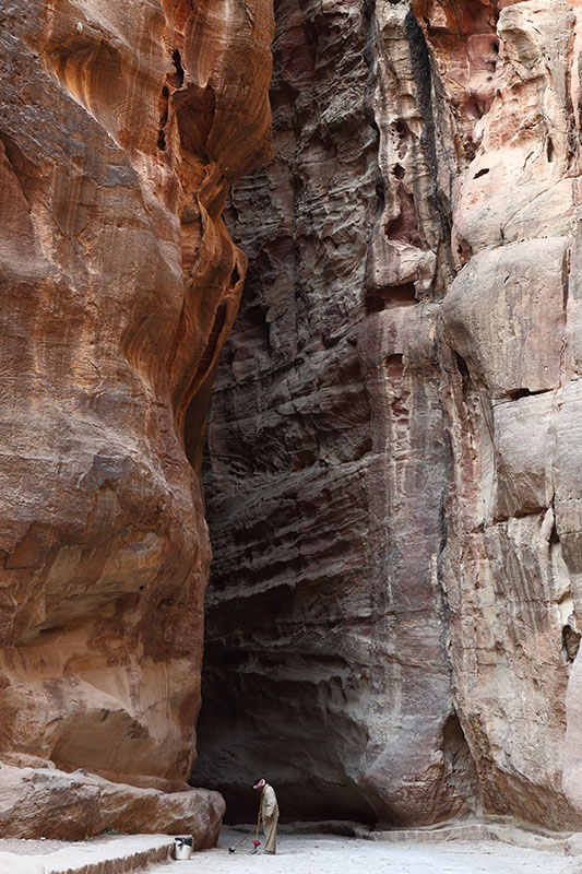
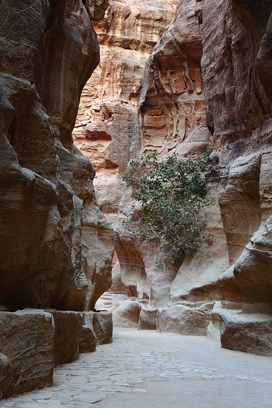
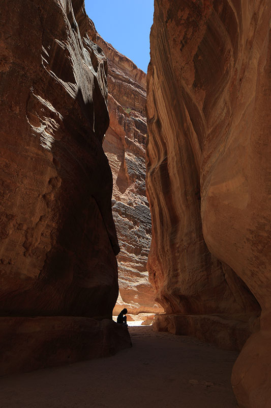
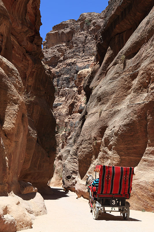
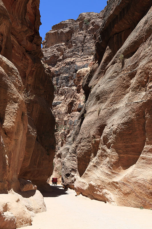
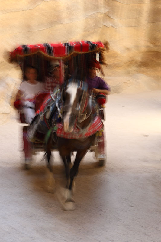
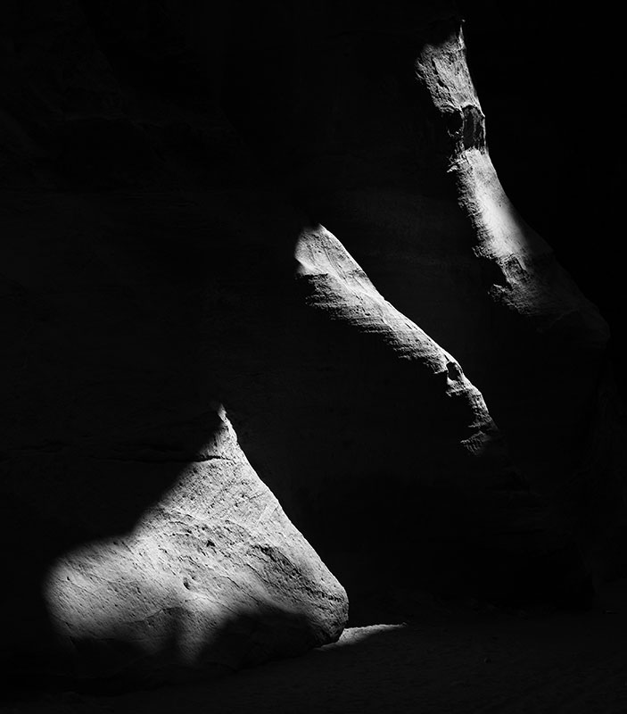
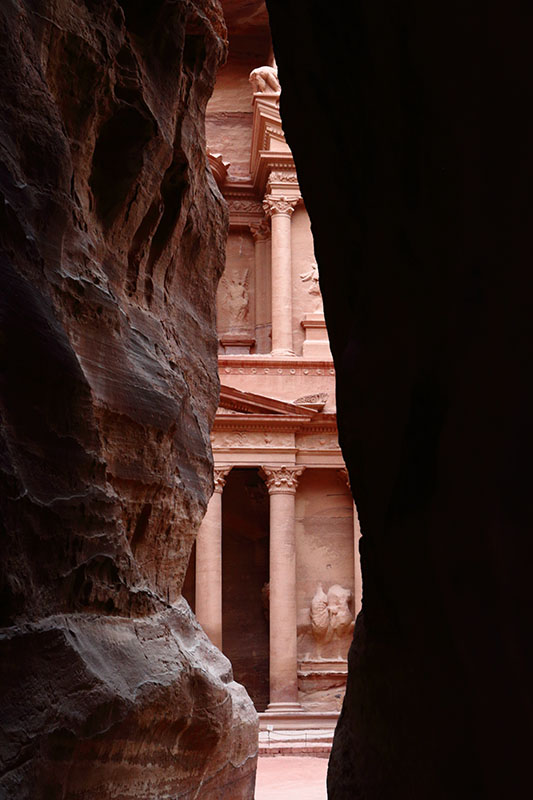
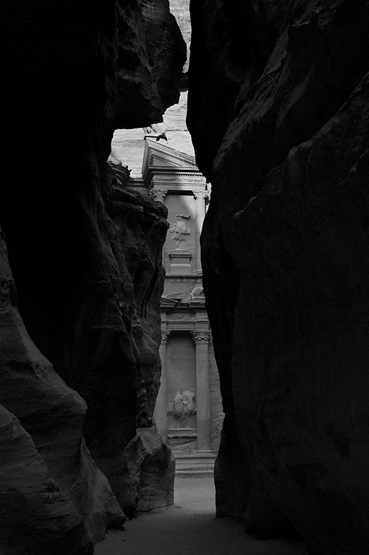
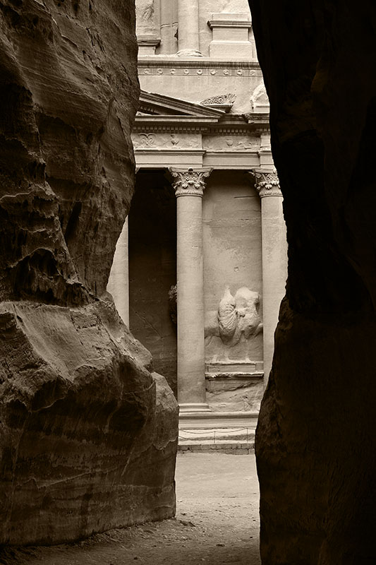
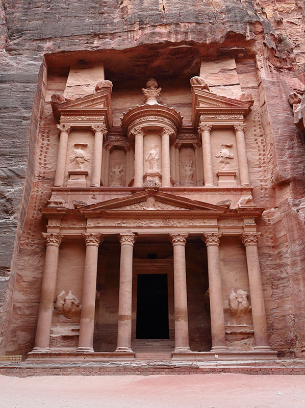
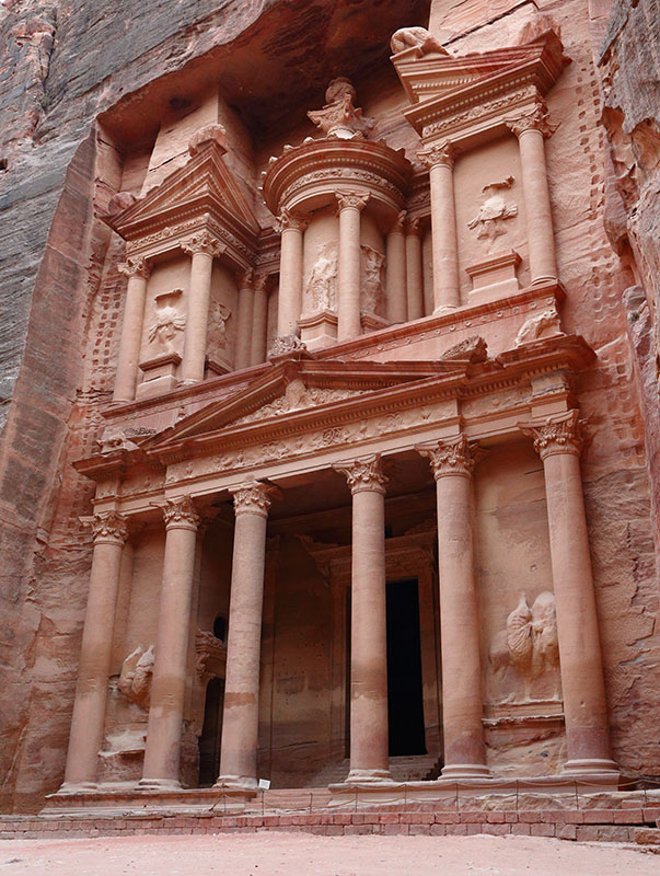
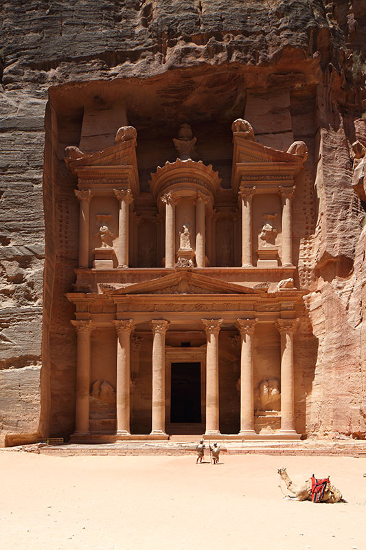
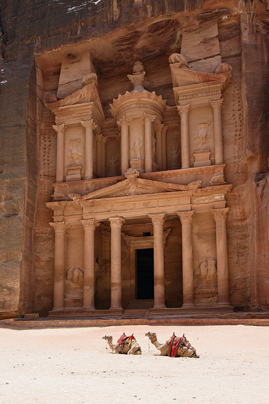
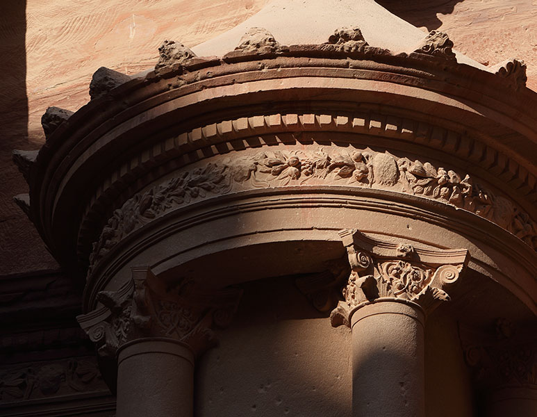
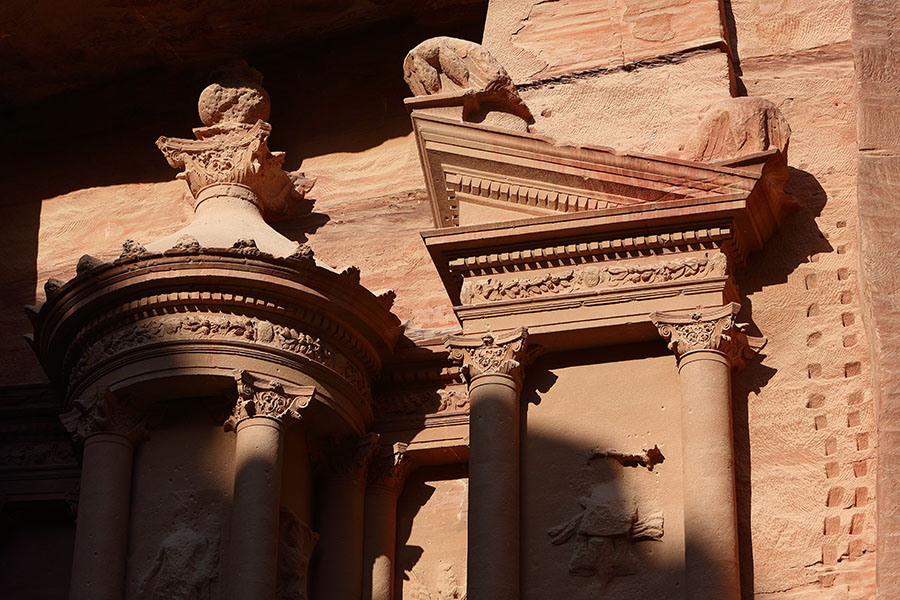
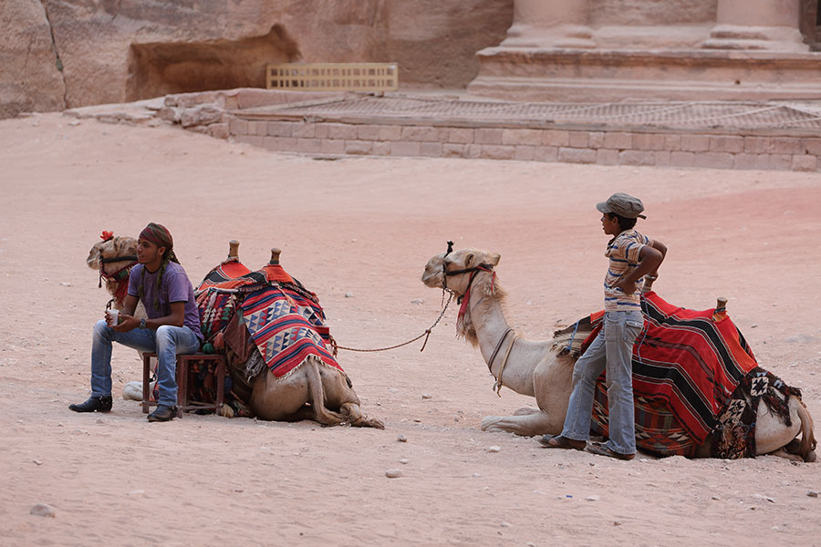
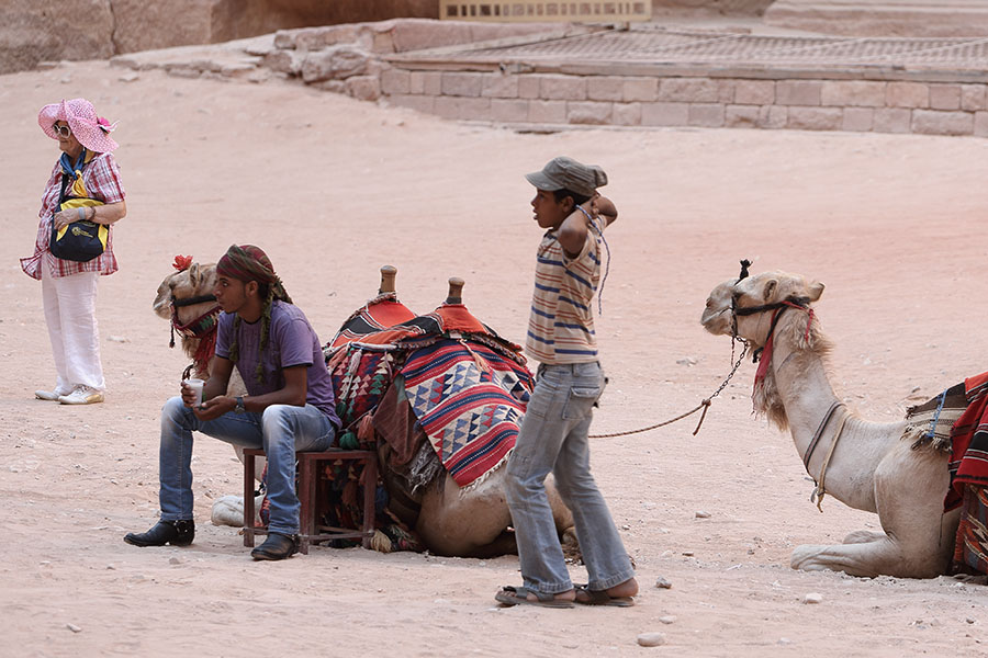
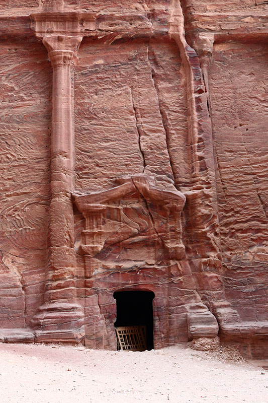
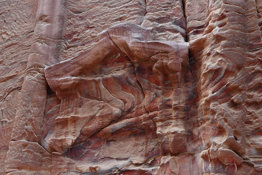
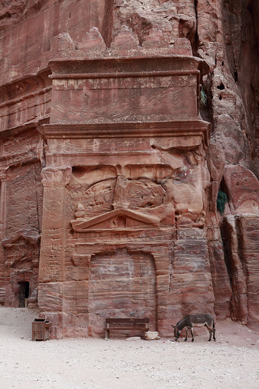
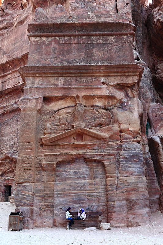
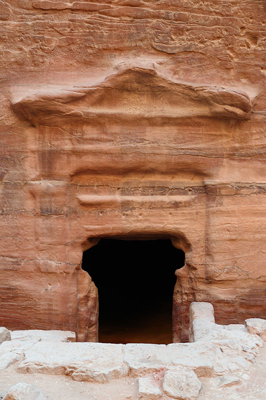
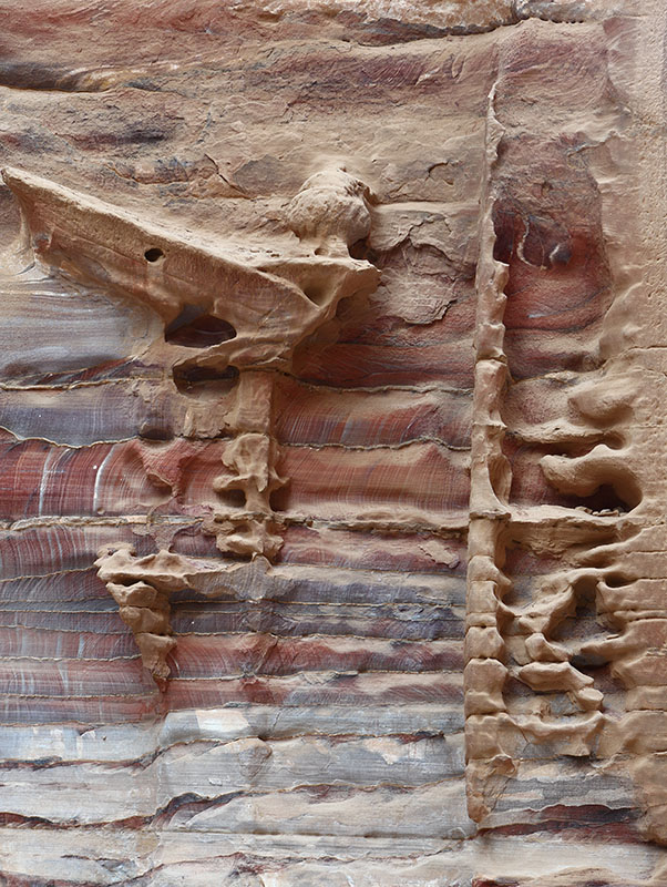
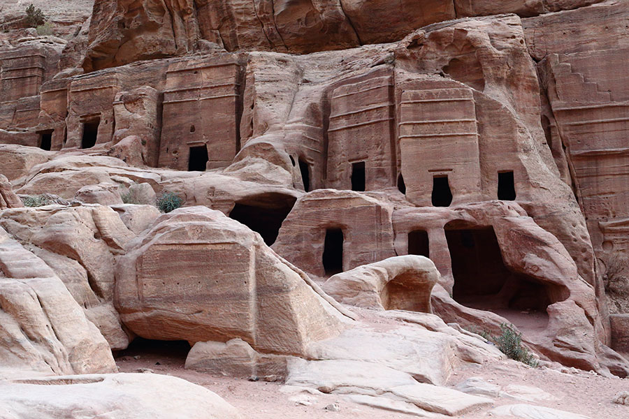
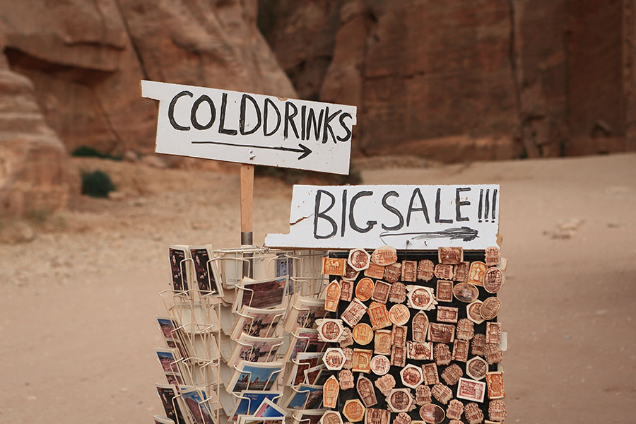
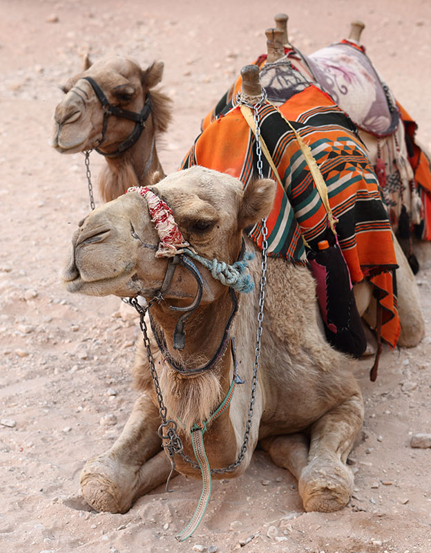
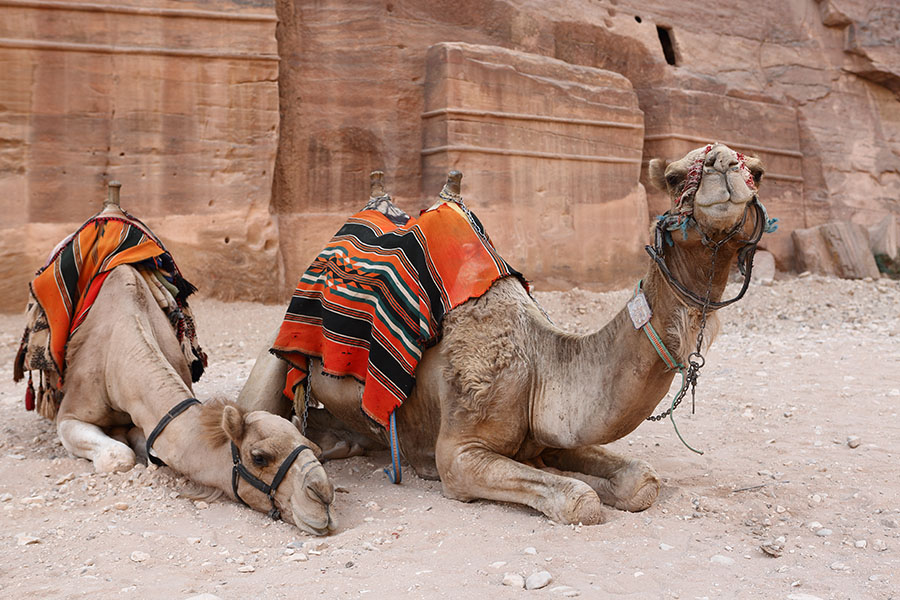
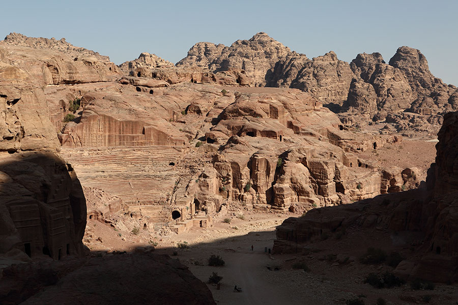
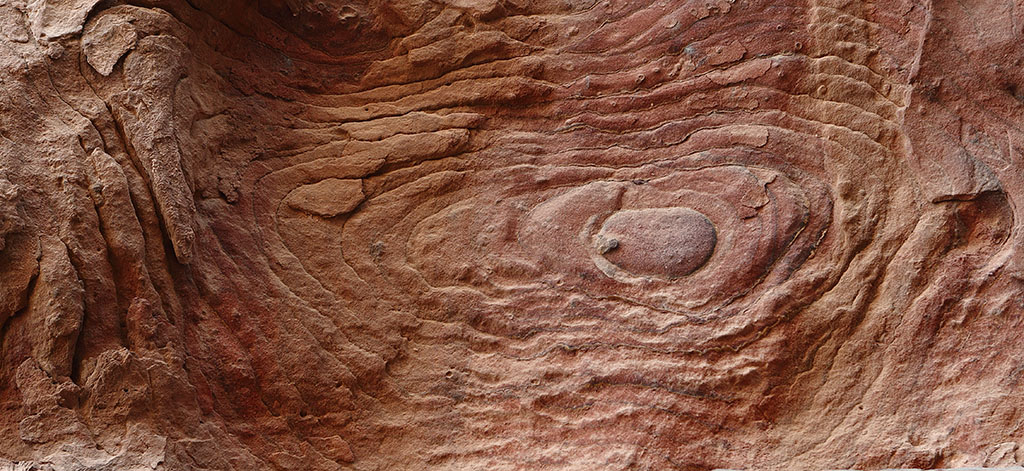
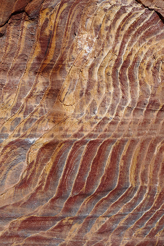
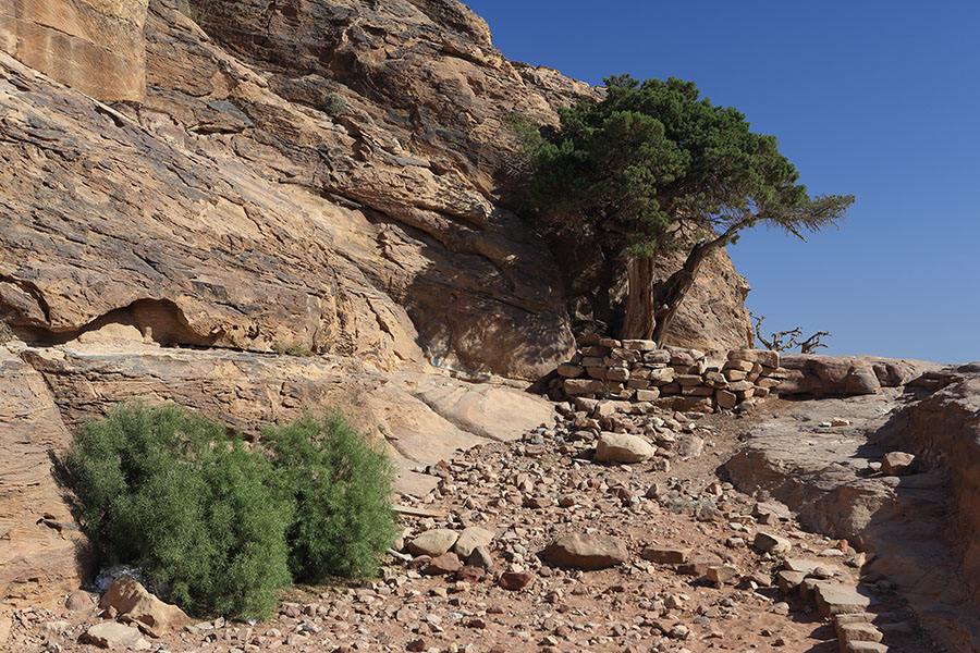
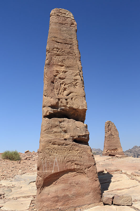
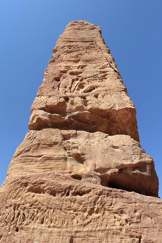
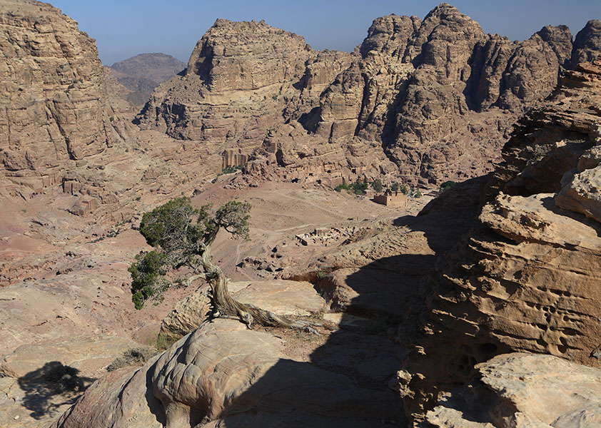
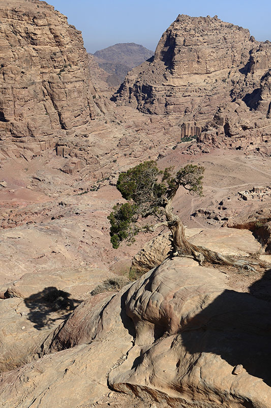
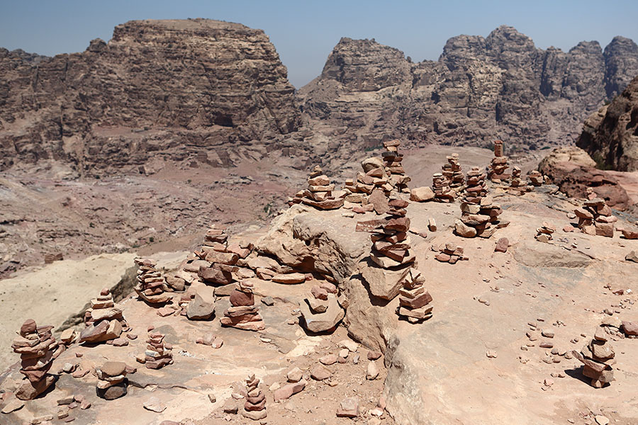
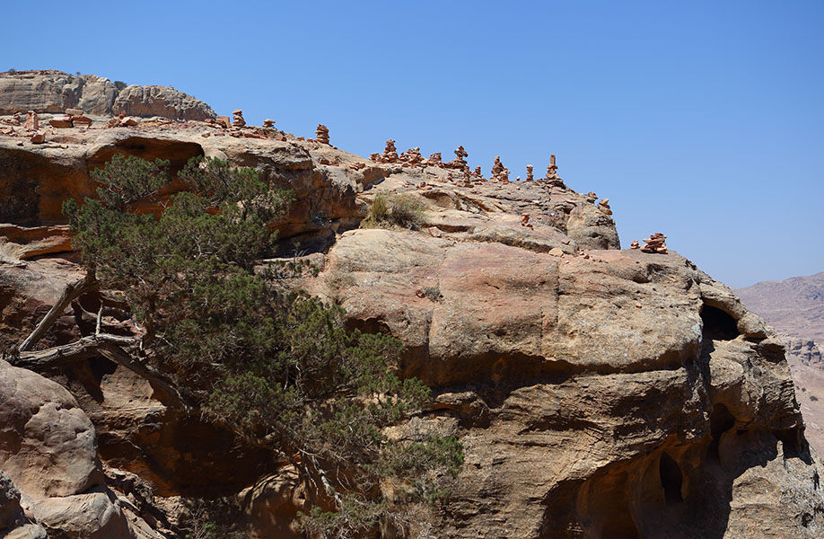
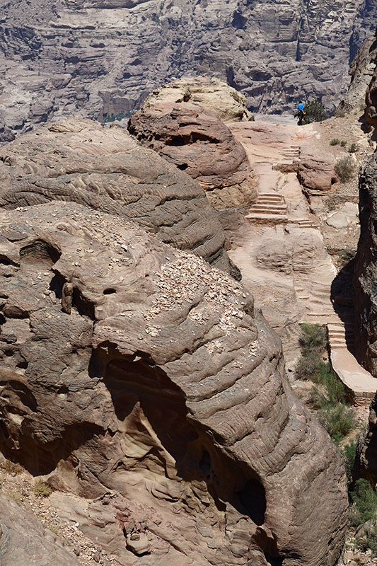
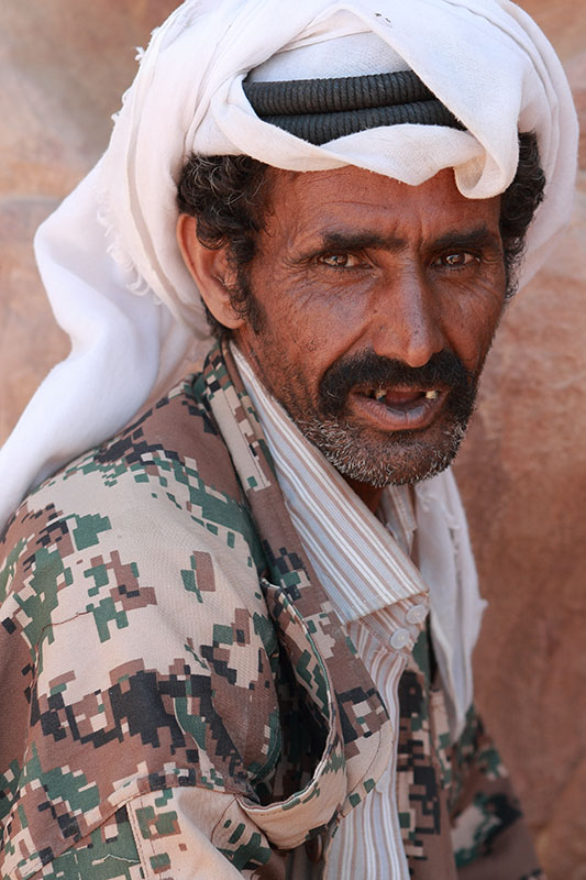
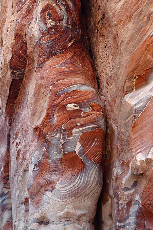
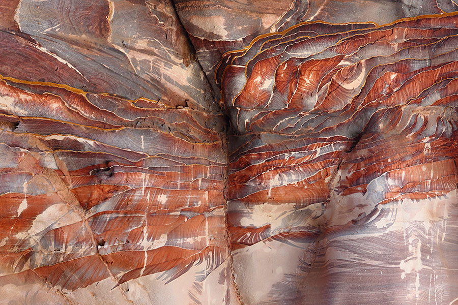
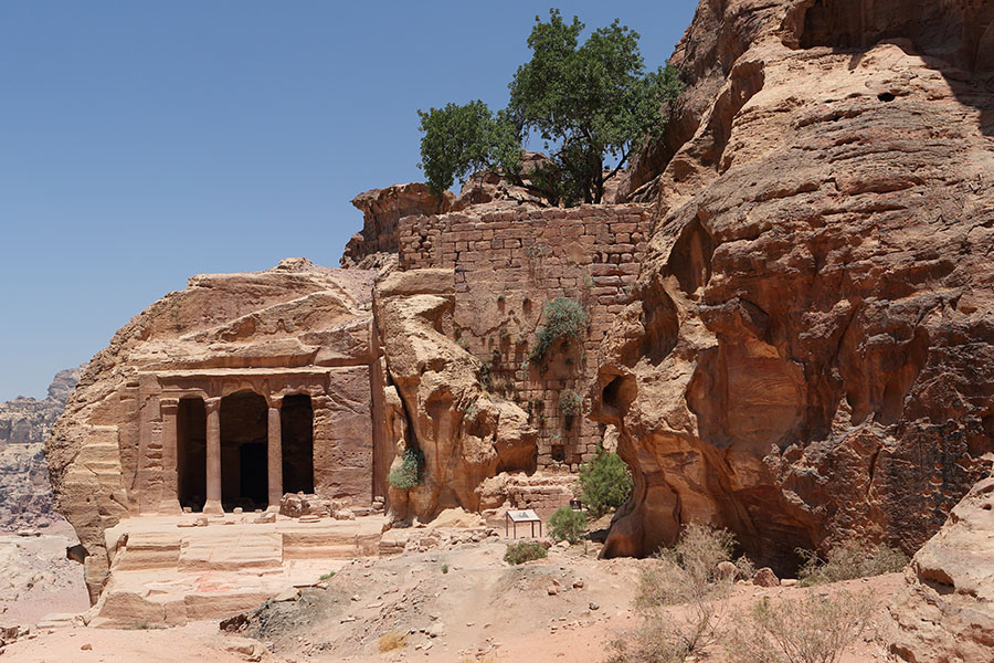
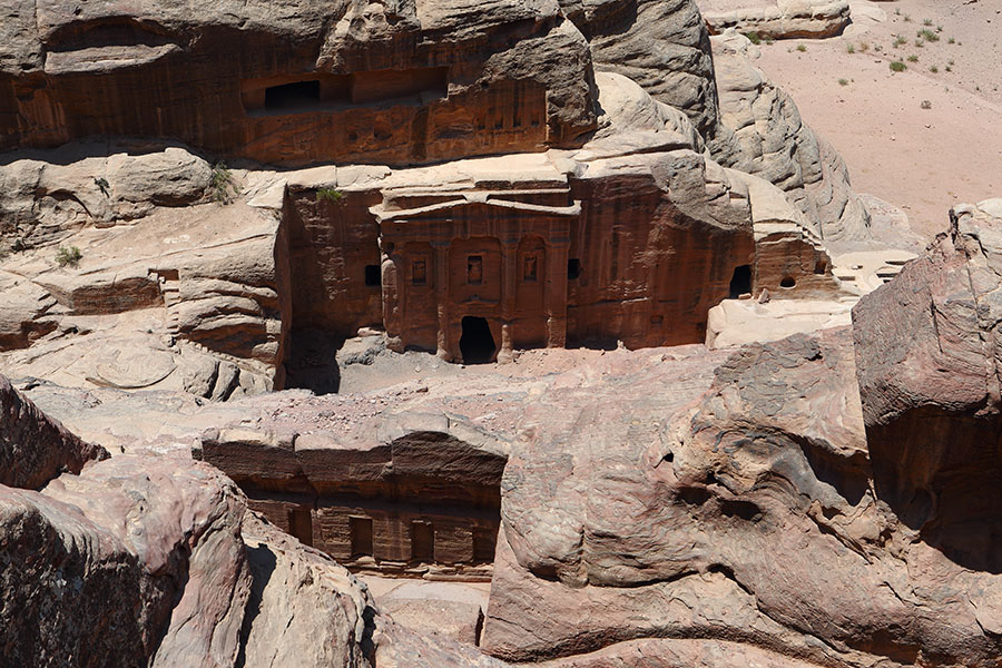
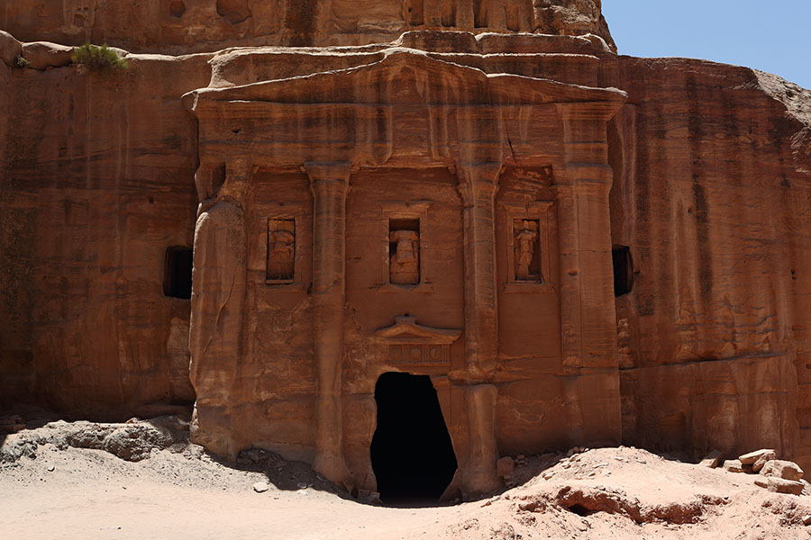
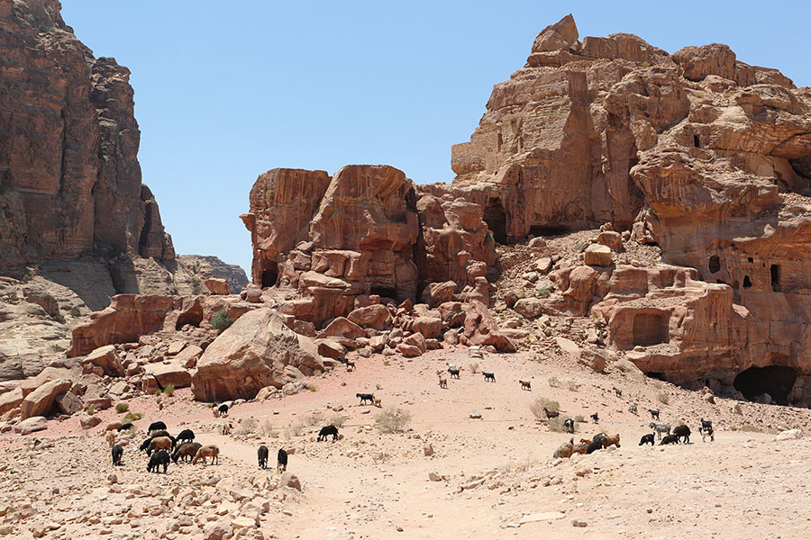
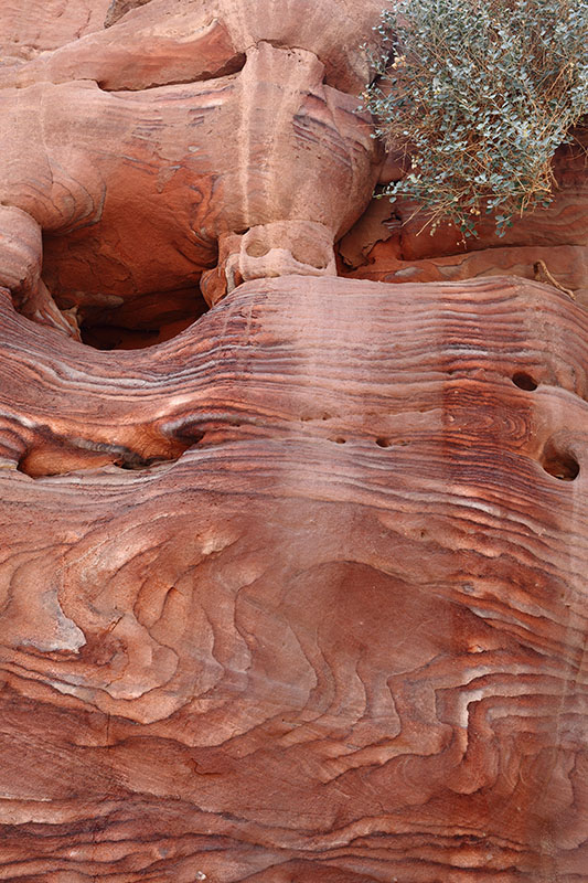
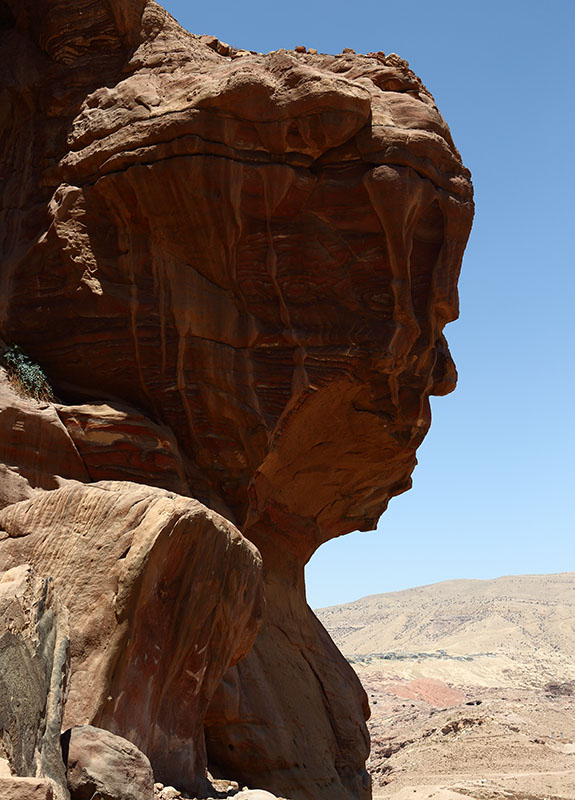
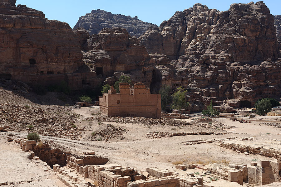
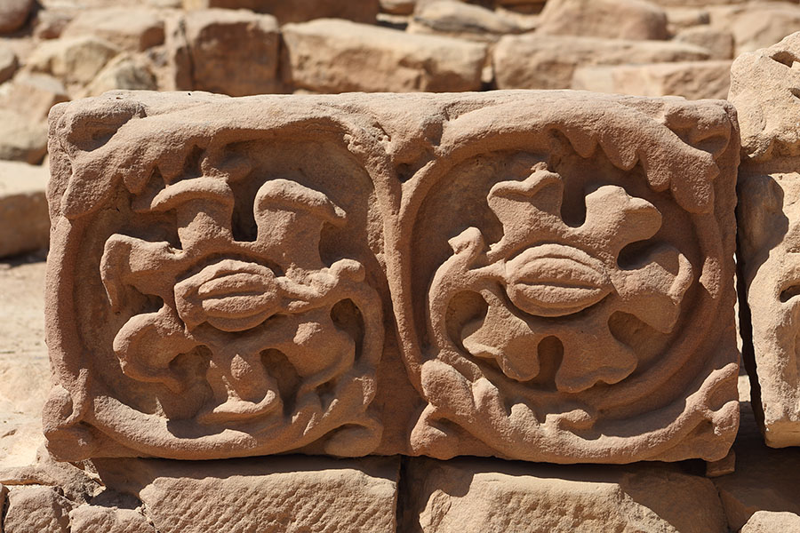
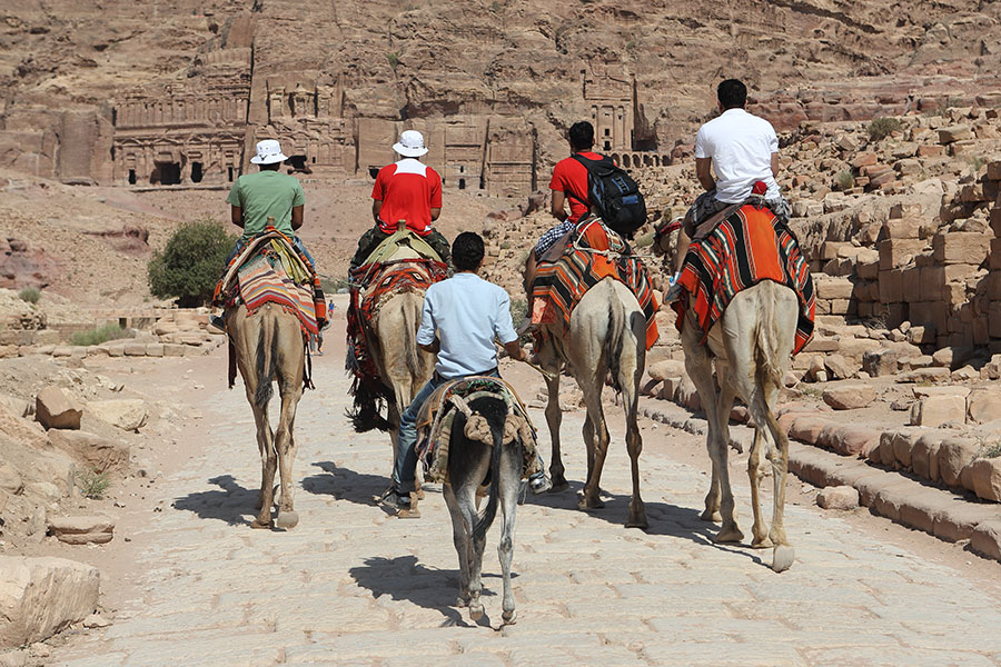
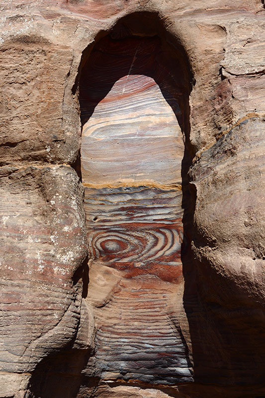
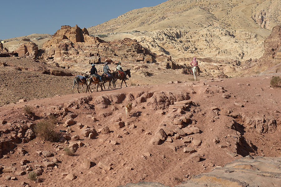
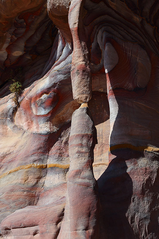
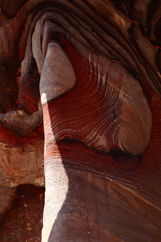
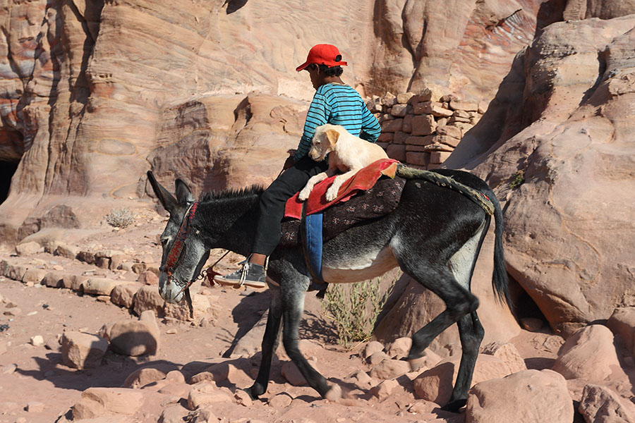
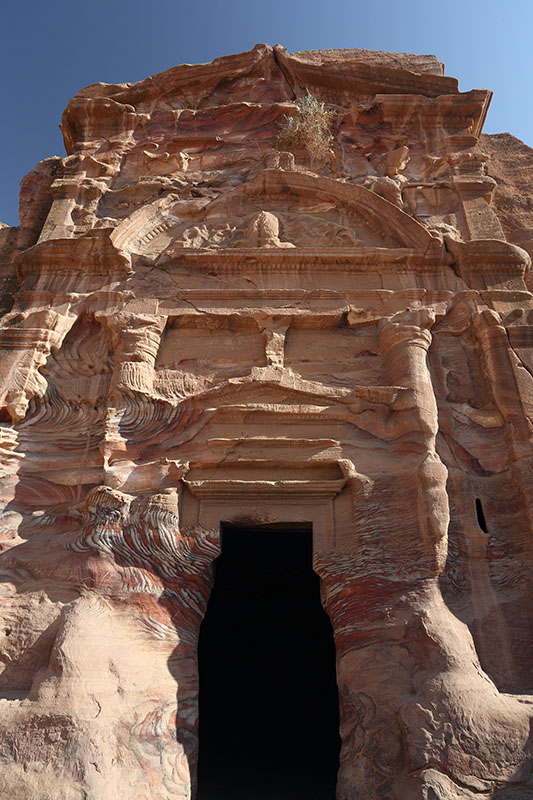
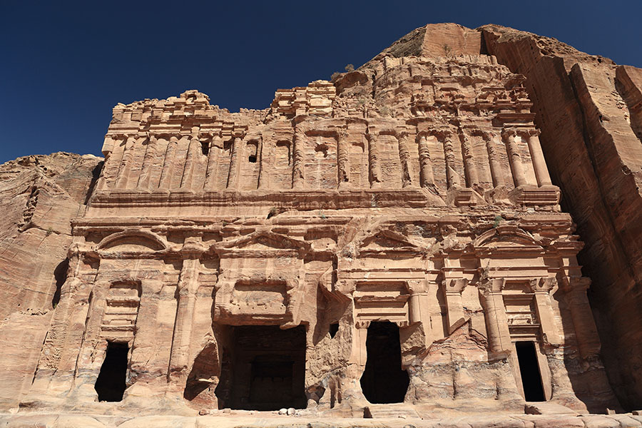
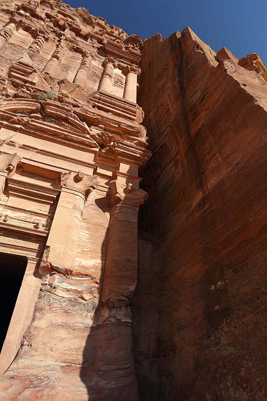
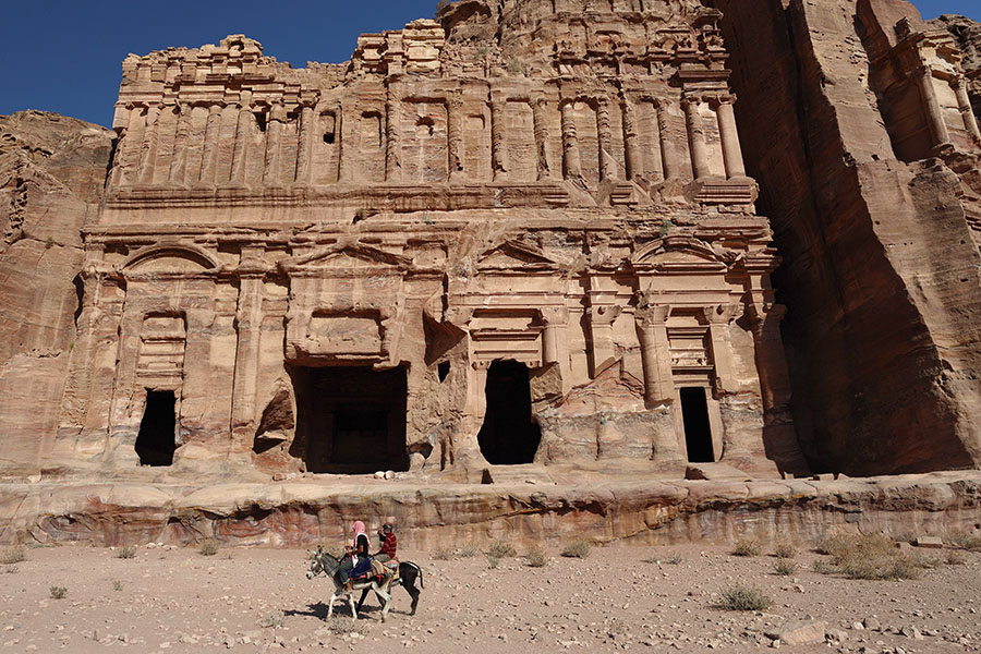
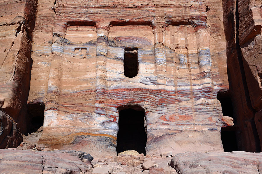
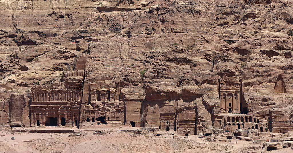
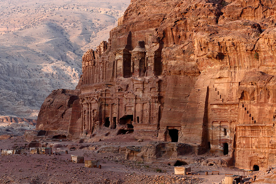
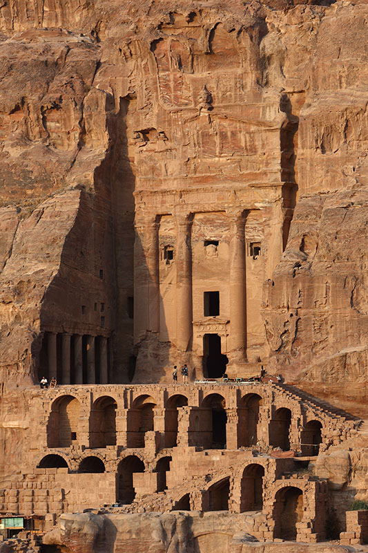
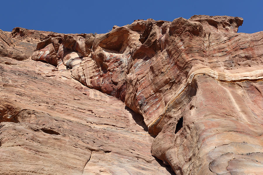
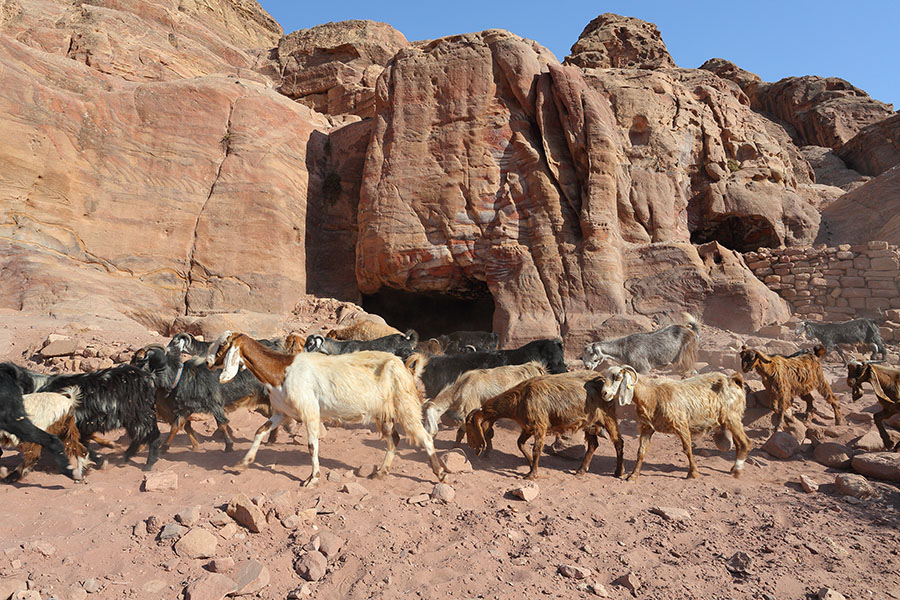
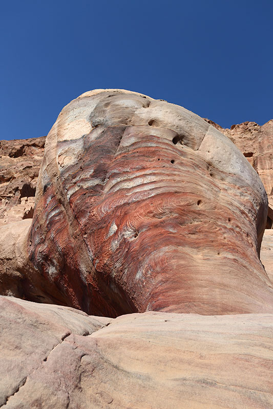
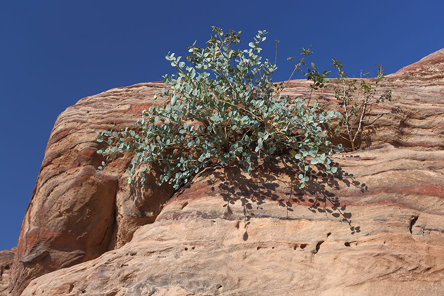
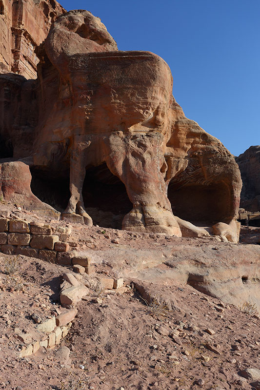
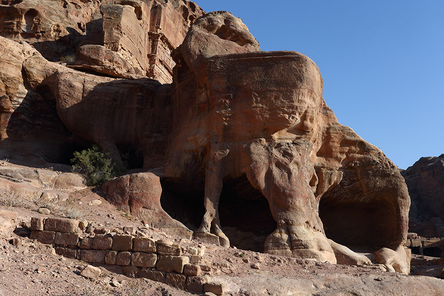
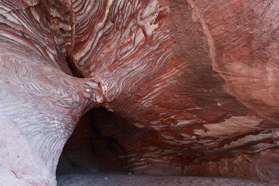
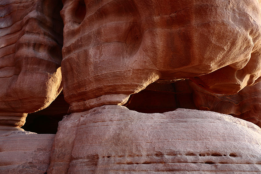
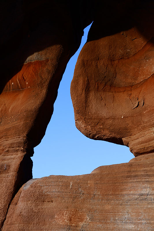
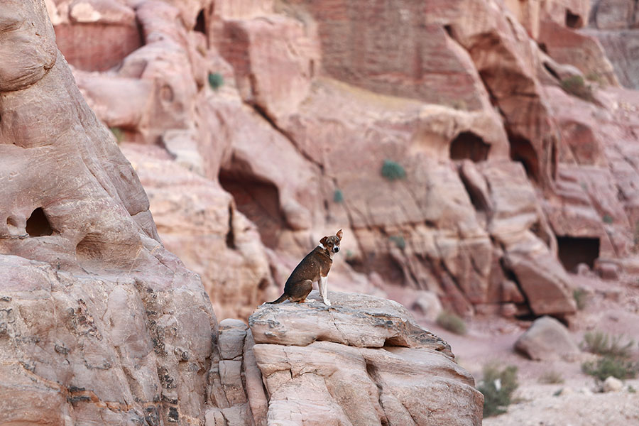
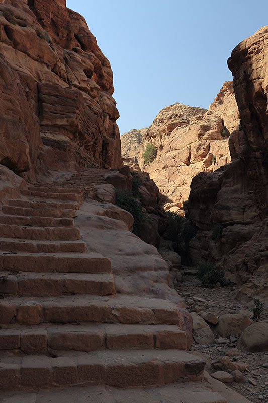
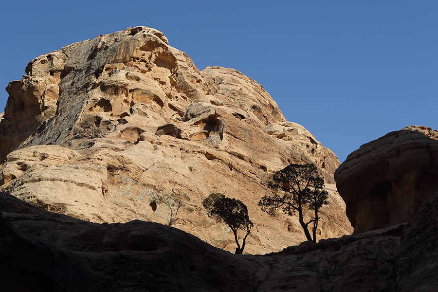
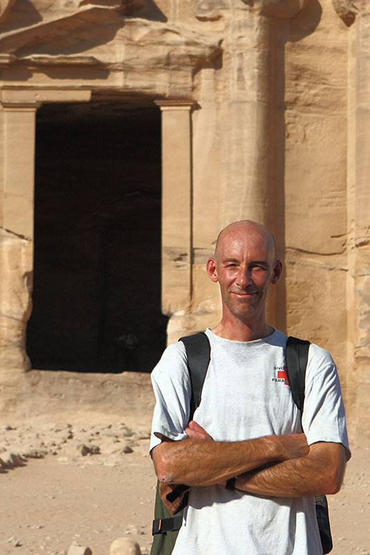
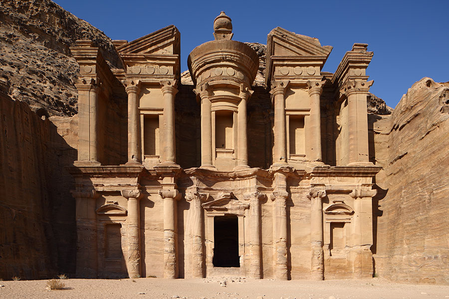
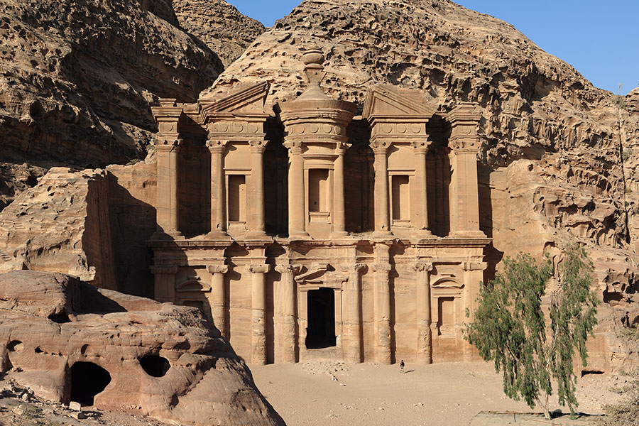
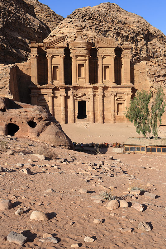
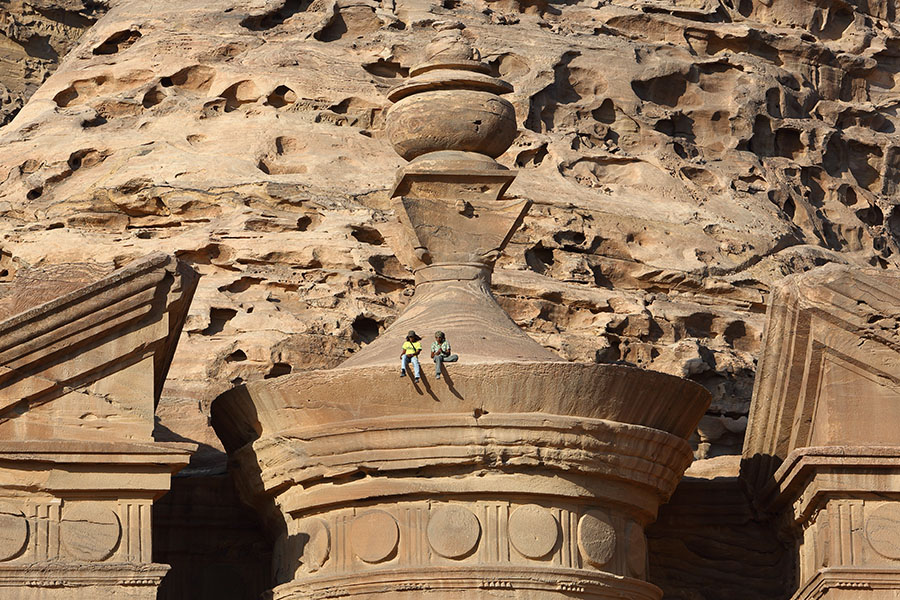
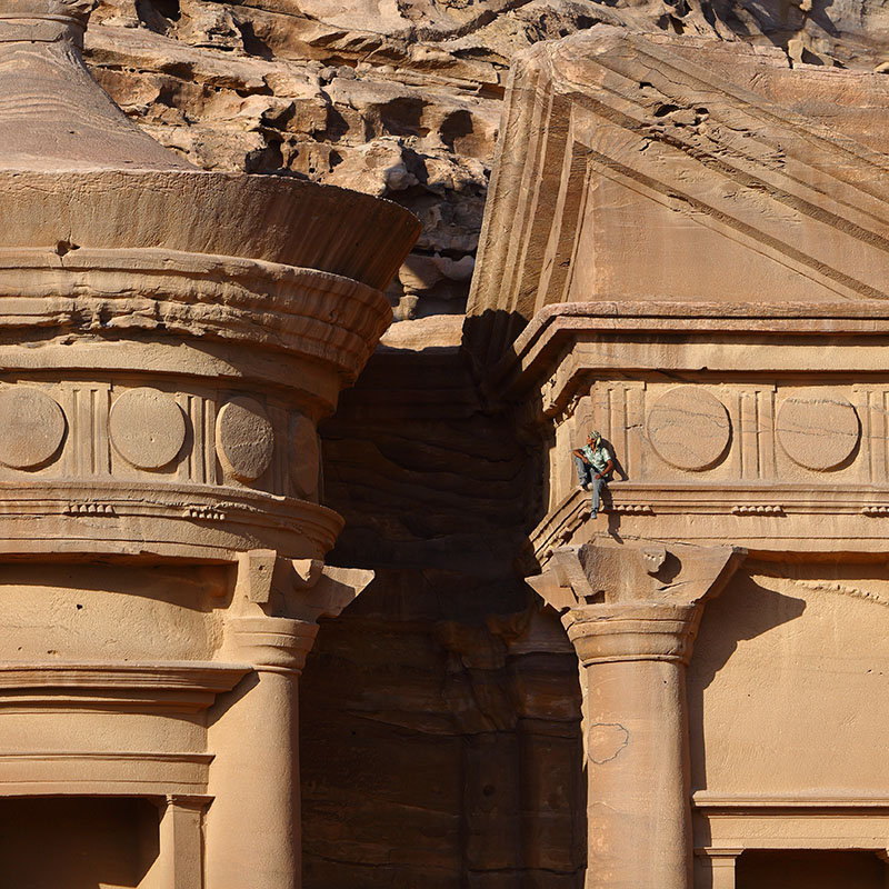
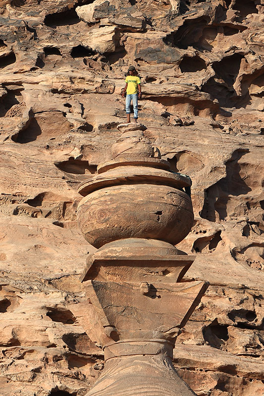
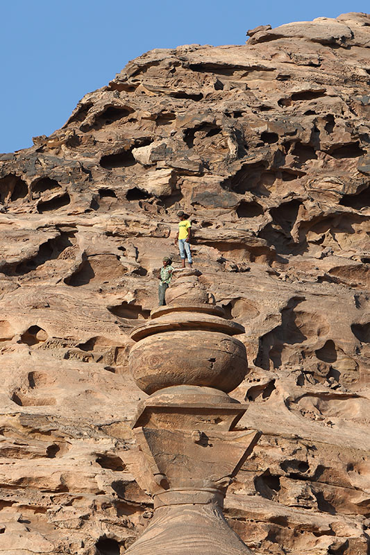
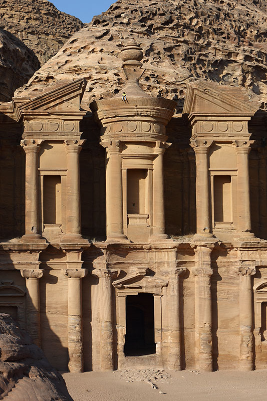
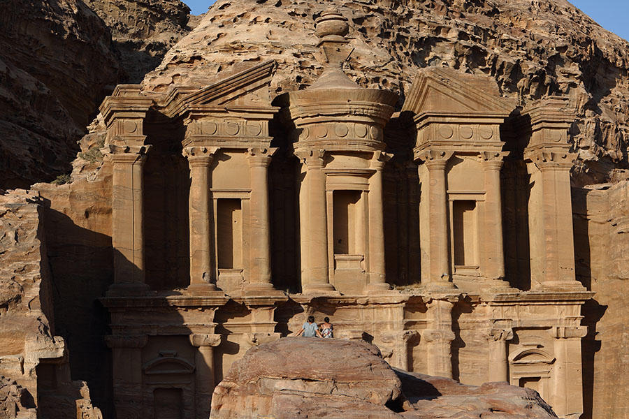
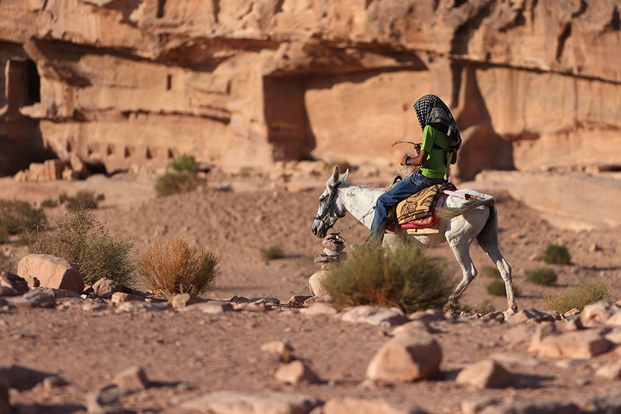
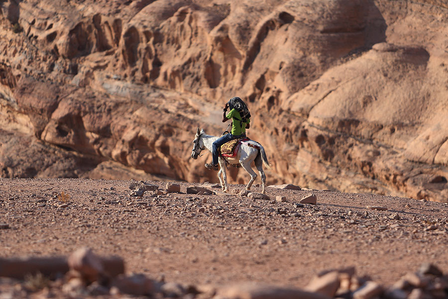
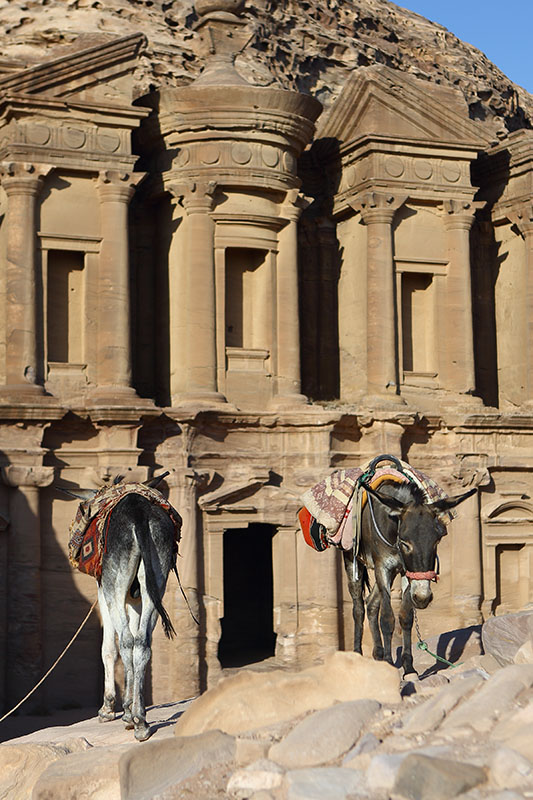
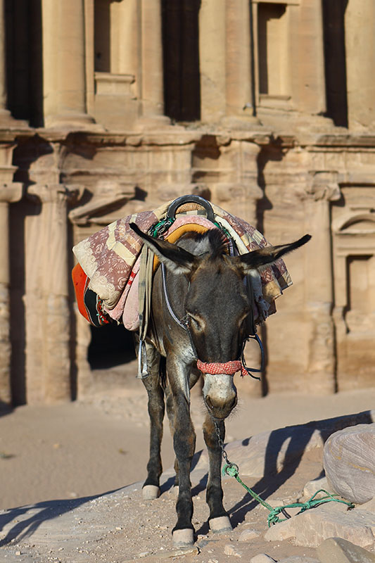
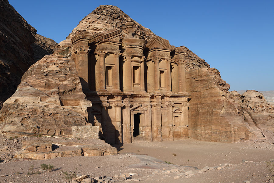
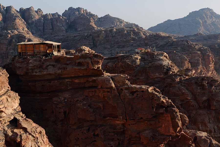
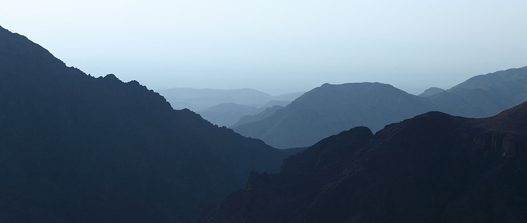
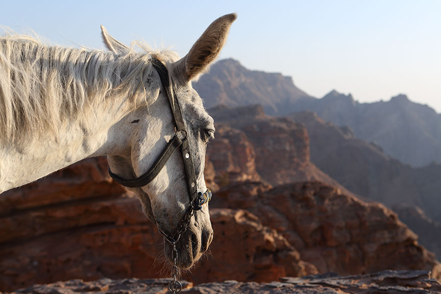
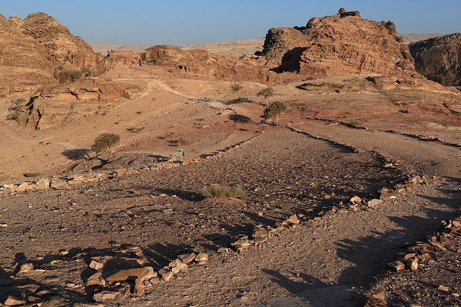
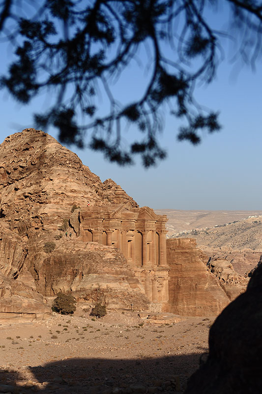
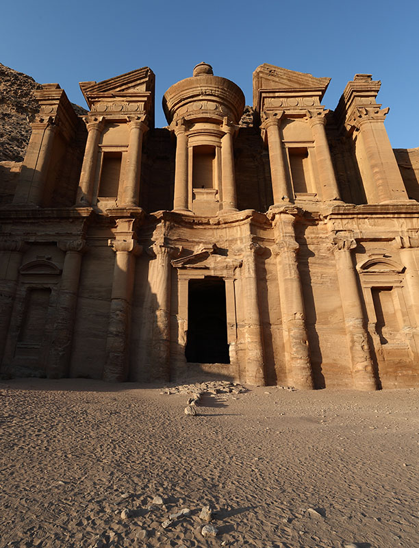
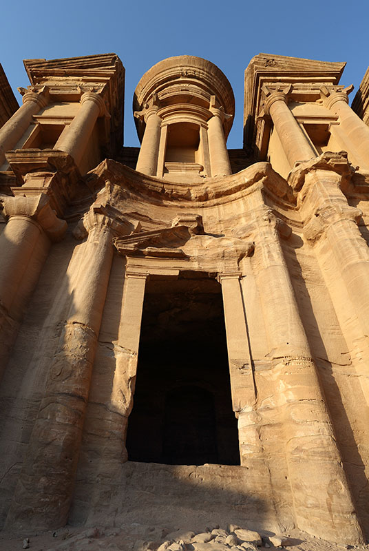
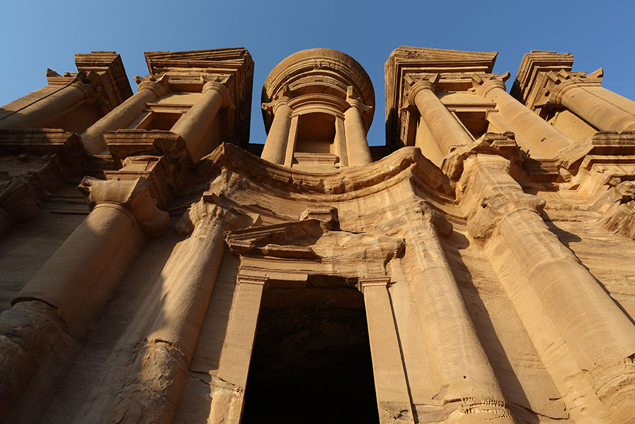
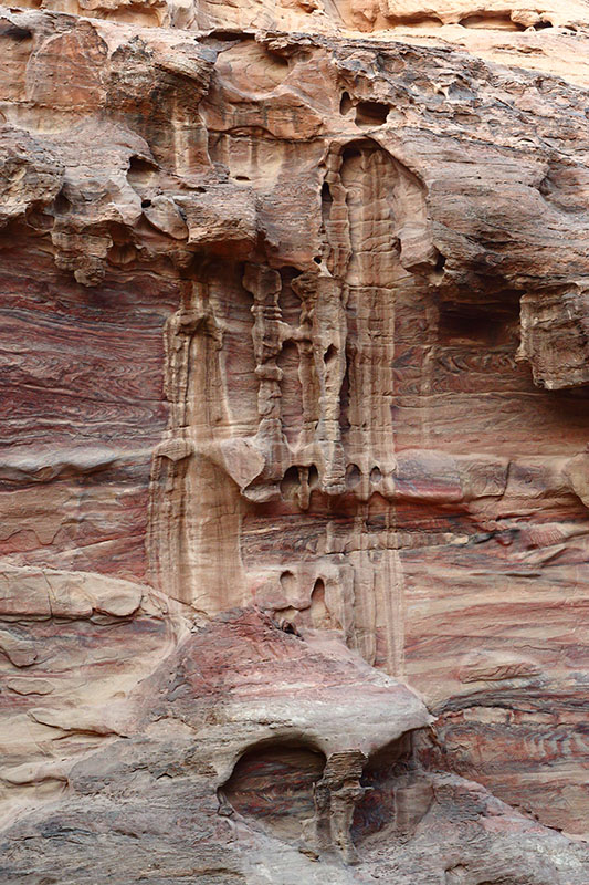
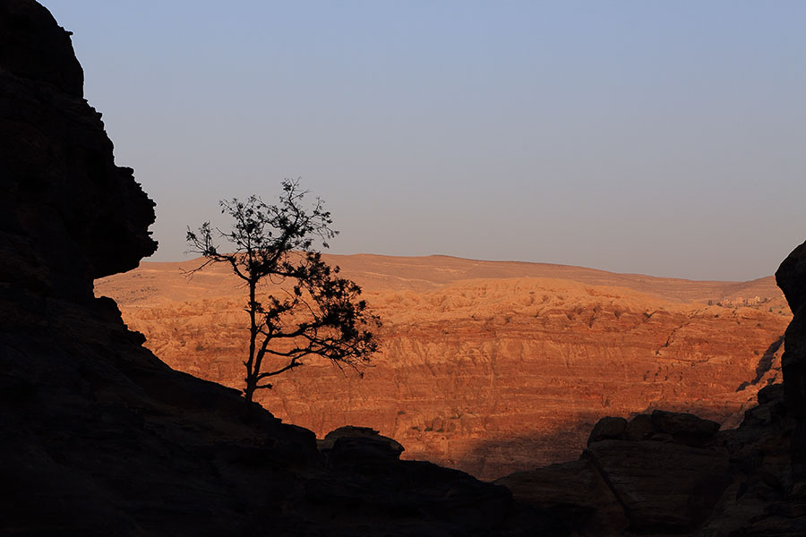
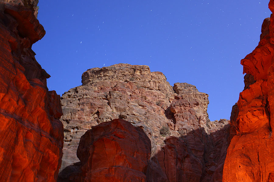
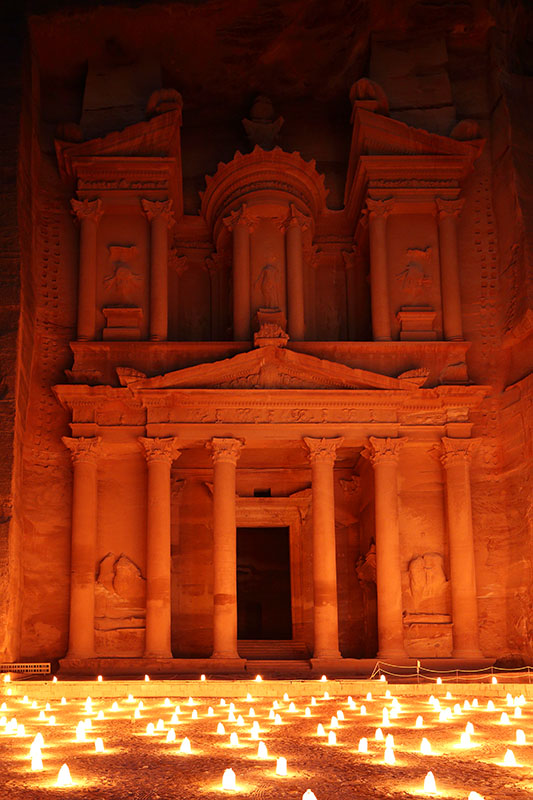
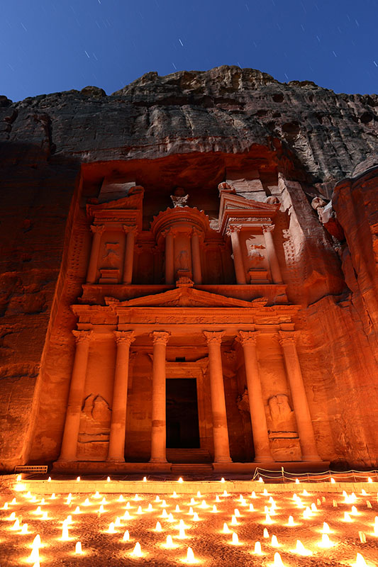
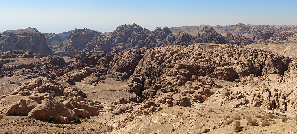
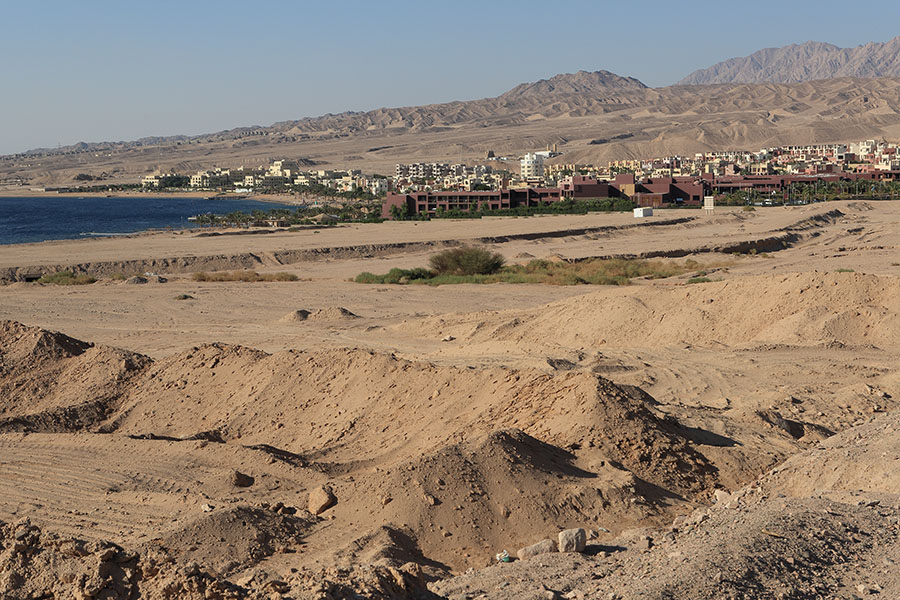
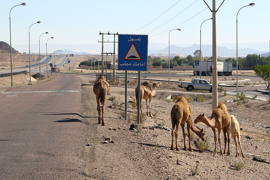
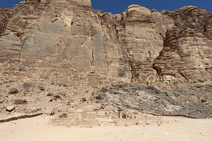
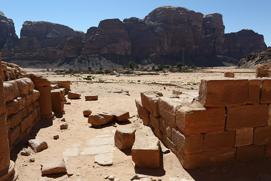
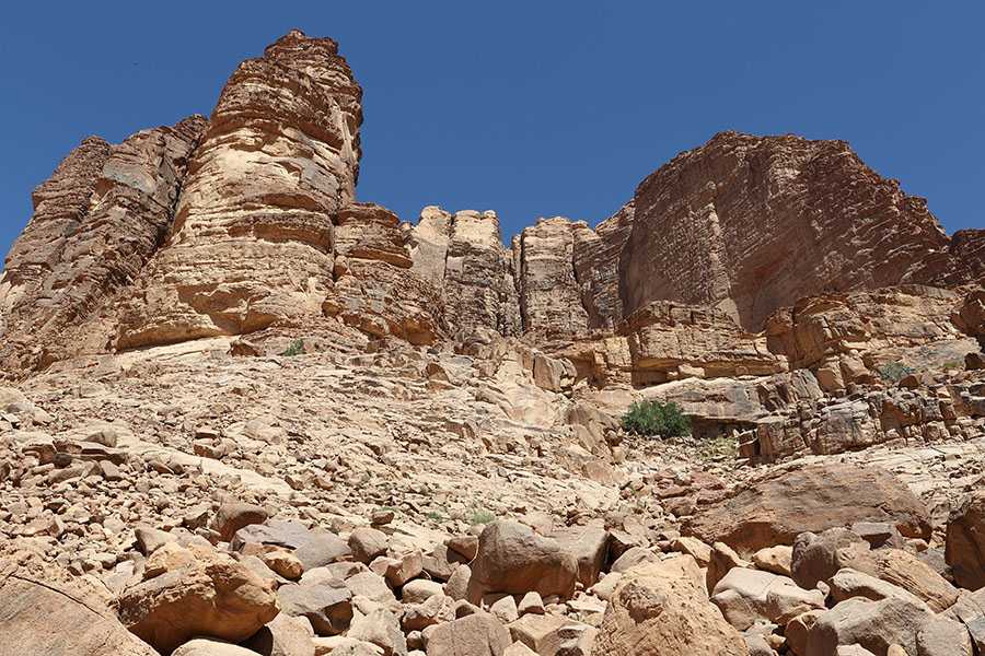
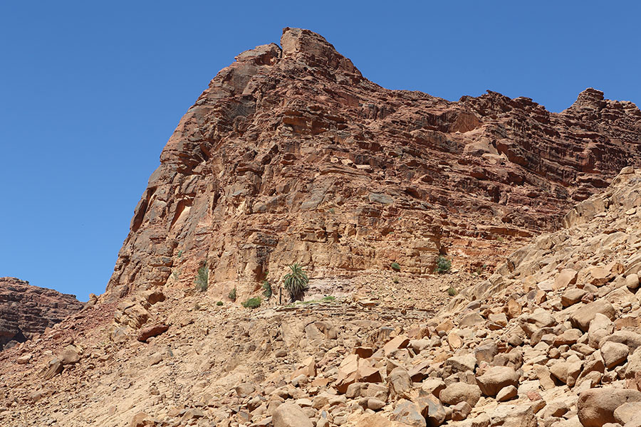
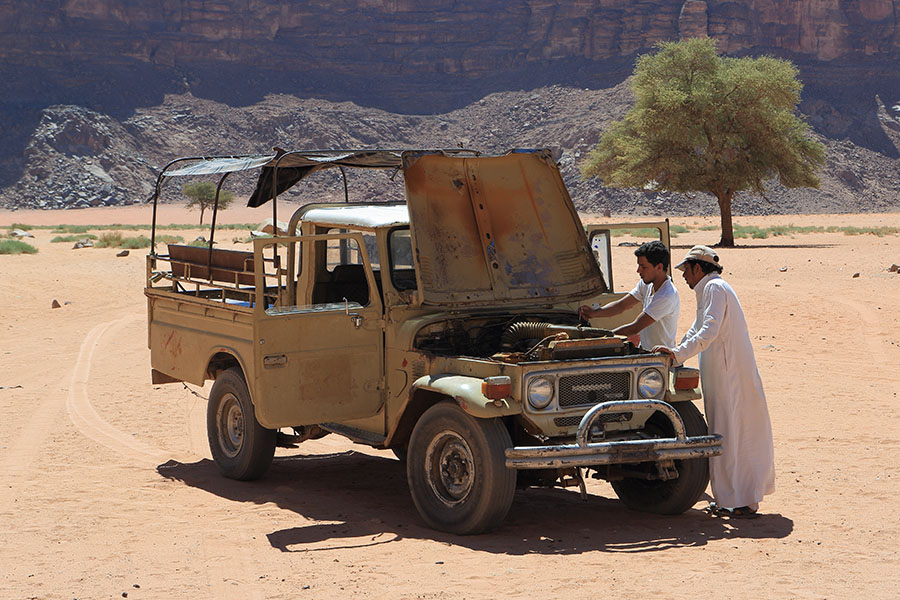
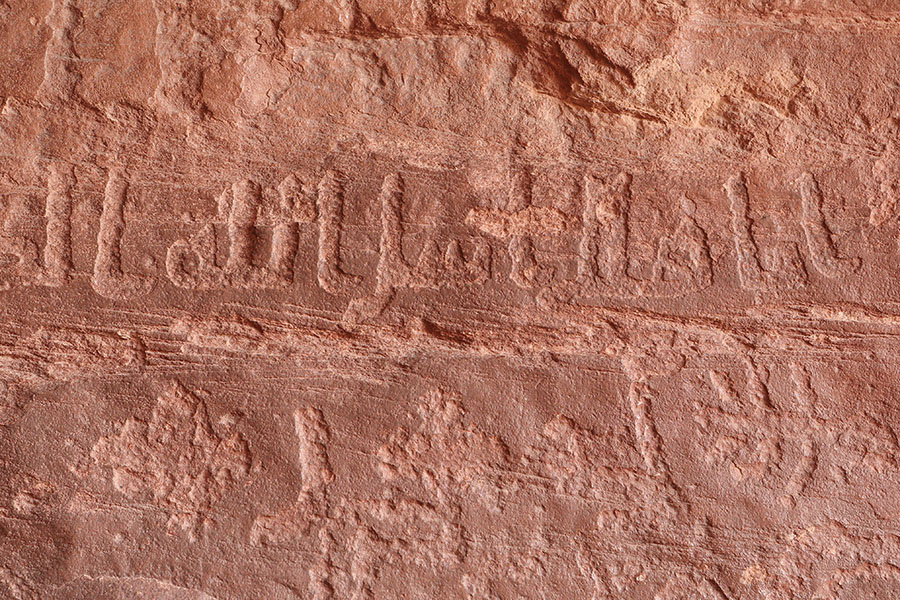
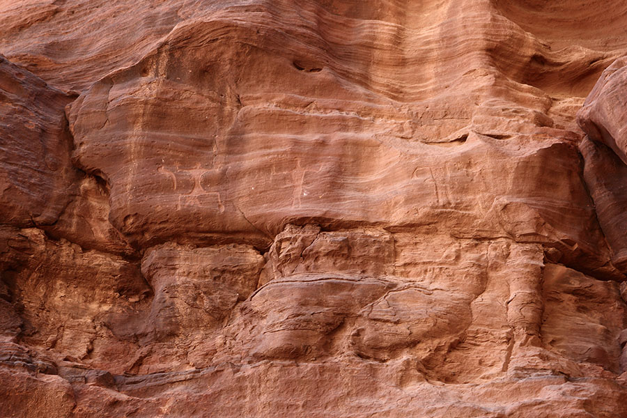
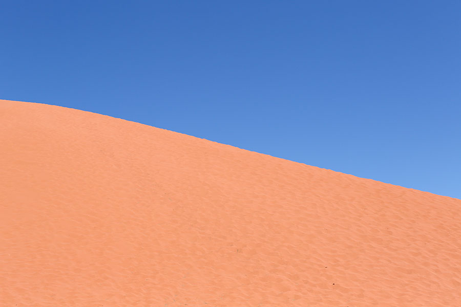
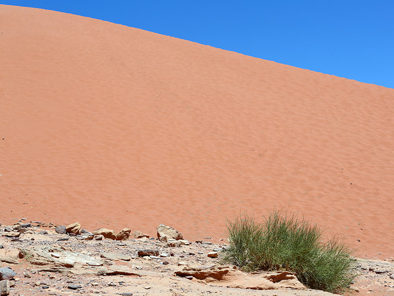
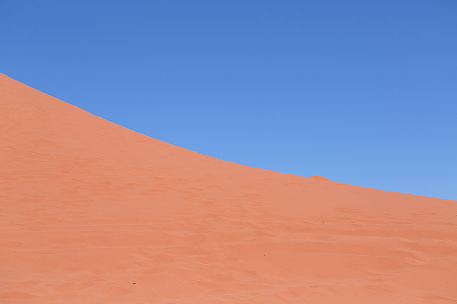
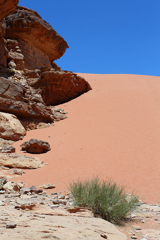
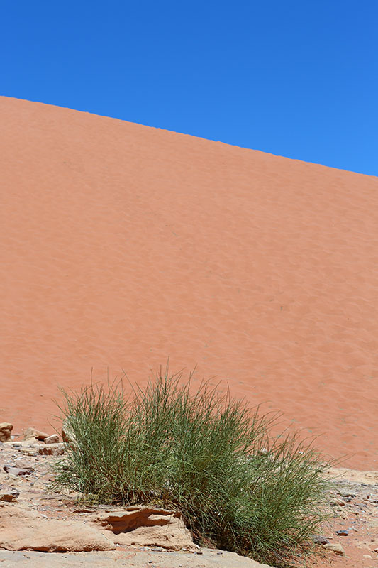
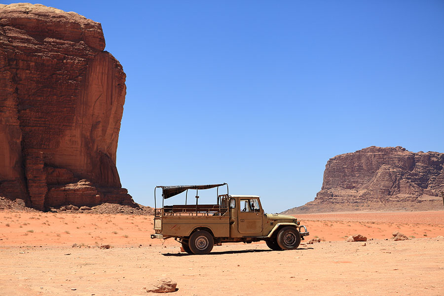
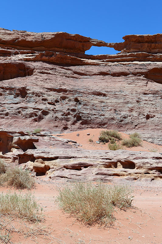
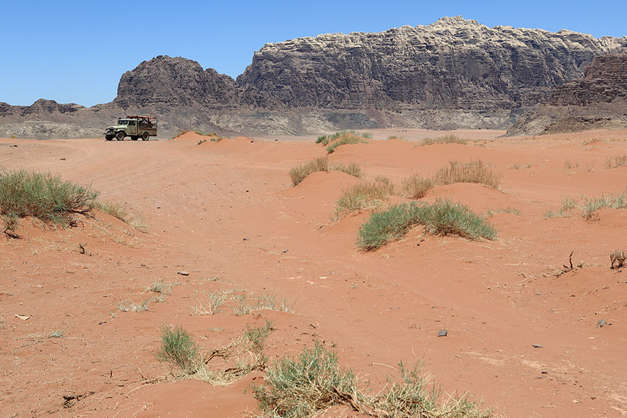
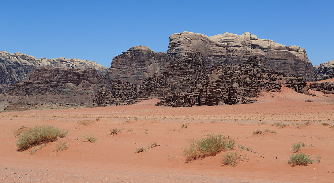
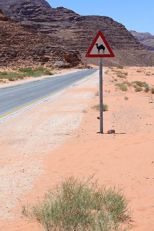
2012 Jordan
2011 St Vincent and the Grenadines
2011 Grenada
2011 Barbados
2011 Ireland
2009-2012 UK
Journals 2010-2006
2010 Nicaragua
2010 Honduras
2009 China
2008 Panama
2008 Costa Rica
2007 Venice, Italy
2007 India
2006 Vietnam
2006 Cambodia
2006 Turkey
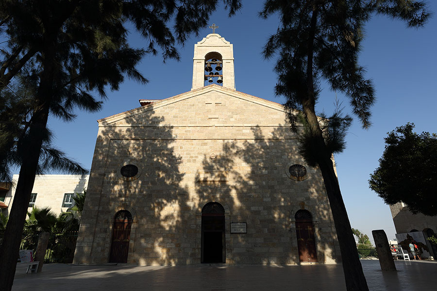
2006 Israel
2006 Hungary
2006 Greece
2006 Egypt
2006 Albania
Journals before 2006
2005 Madagascar
2005 Estonia
2004 Poland
2004 Madagascar
2004 Czech Republic
2003 Thailand
2002 Cuba
2001-2002 Curacao
2000 Canada
1999 Peru
1999 Bolivia
1997-1998 USA
1997 Tanzania
1997 Kenya
1993 Indonesia
Creative
Color Art
Waterdrops
La Biennale di Venezia 2013
People
Various
Desolate Dutch Tree
2012 Transit of Venus
Fireworks
Spinnaker Tower
Battle of Hastings
Doors of the World
2009 Solar Eclipse
The whole story
Flowers
Heron in Action
Lightning
Lunar Eclipse
Snowy World
Silky Water
Stromboli Erupting
Skies and Sunsets
Heldair Show Maritiem
Tools of the Trade
Restricted
QRJvanDijk Photography
Photo Journals
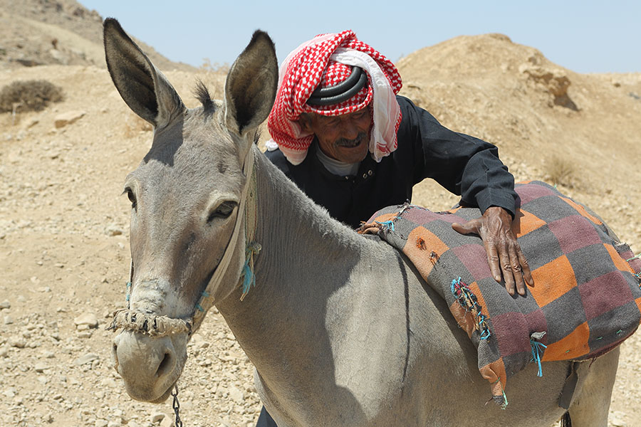
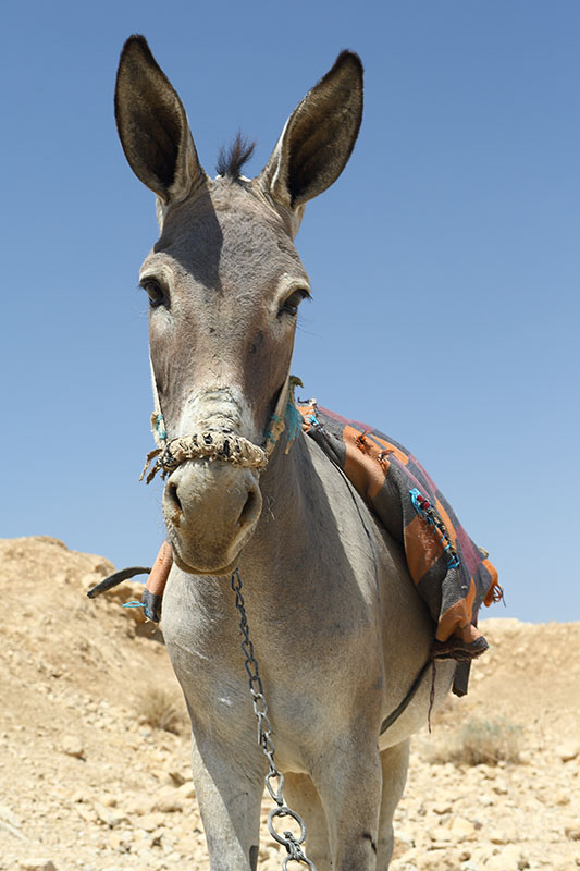
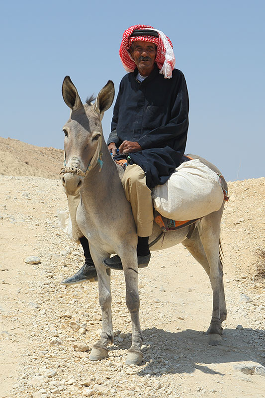
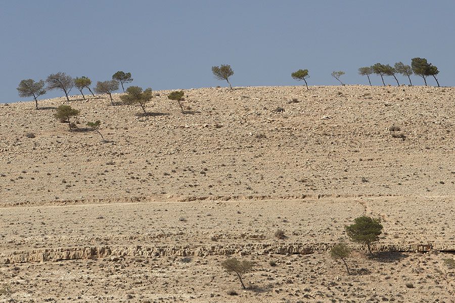
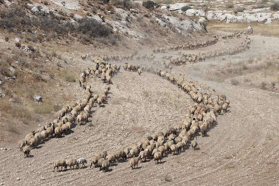
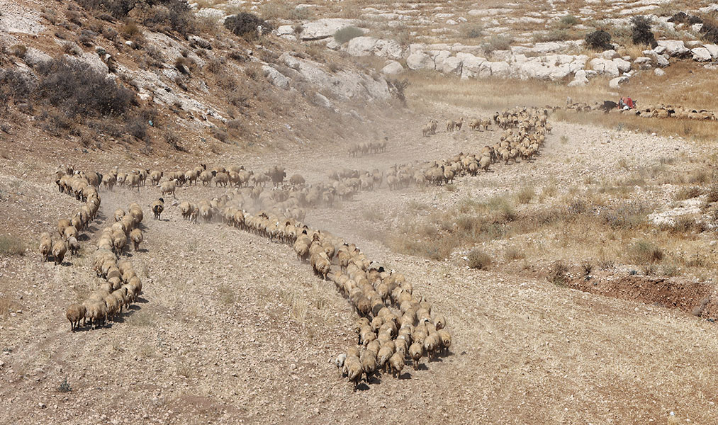
2012 Jordan
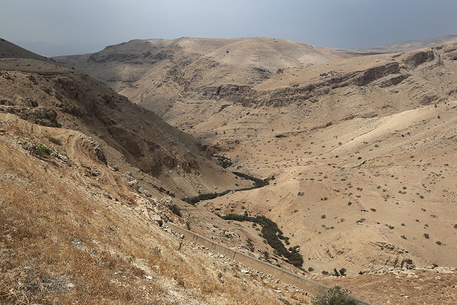
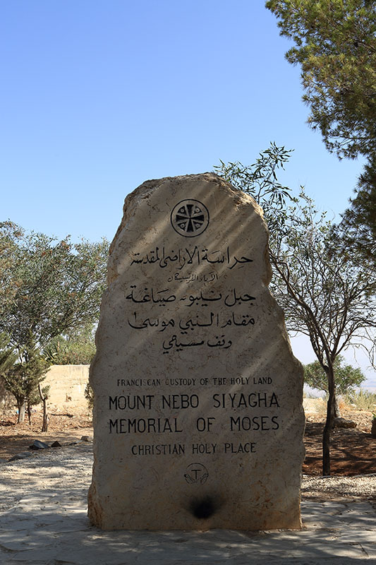
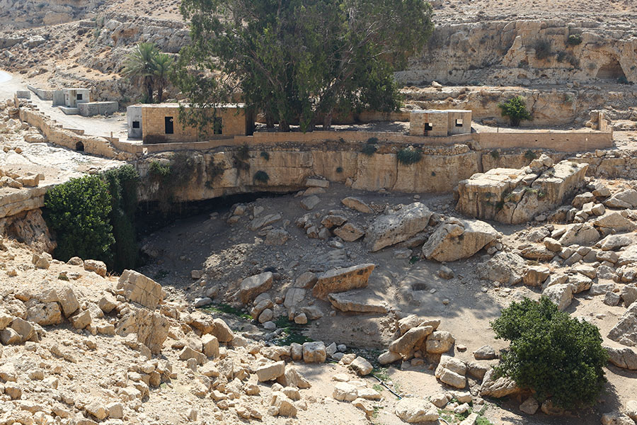
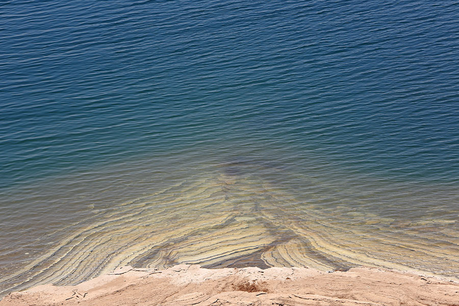
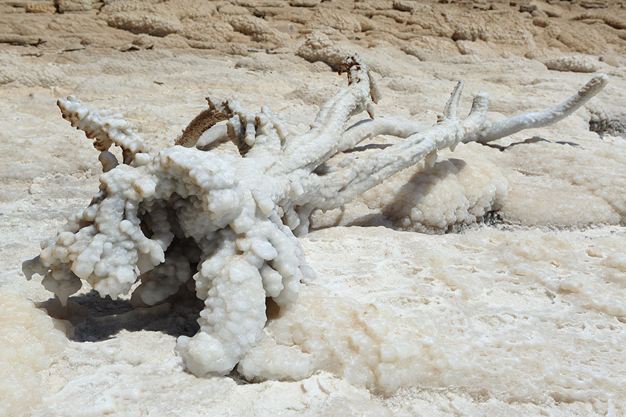
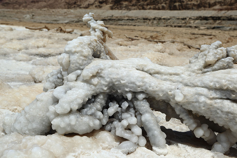
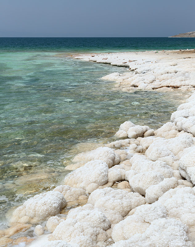
Photo Journal of my visit to Jordan in 2012. It includes images taken at Amman, Petra, Jerash, Madaba, Karak, Wadi Rum, the Jordan Valley and the Dead Sea.